Still forecasting a hurricane before Hispanola but really weak on the other side
However, the large range of possibilities also includes both Dorian
going north of Hispaniola and remaining a hurricane and the small
cyclone dissipating completely over the island.
View attachment 21972
...DORIAN STRENGTHENING...
...NEW TROPICAL STORM WARNINGS AND WATCHES ISSUED...
SUMMARY OF 500 PM AST...2100 UTC...INFORMATION
----------------------------------------------
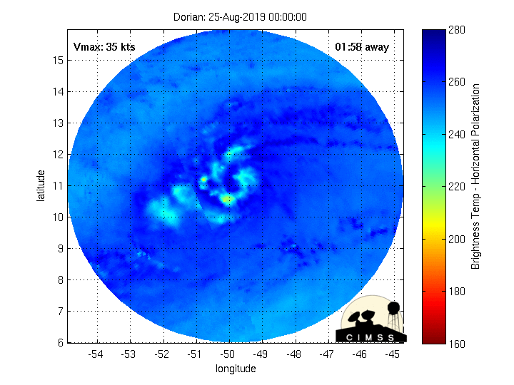
LOCATION...11.5N 54.2W
ABOUT 375 MI...605 KM ESE OF BARBADOS
ABOUT 485 MI...780 KM ESE OF ST. LUCIA
MAXIMUM SUSTAINED WINDS...50 MPH...85 KM/H
PRESENT MOVEMENT...W OR 280 DEGREES AT 14 MPH...22 KM/H
MINIMUM CENTRAL PRESSURE...1003 MB...29.62 INCHES