Psalm 148:8
Member
- Joined
- Dec 25, 2016
- Messages
- 345
- Reaction score
- 792
You serious Clark?BAMS model from Baron

You serious Clark?BAMS model from Baron
JP Dice thinks 1 to 3" for your area and mine, what do you think?
BAMS model from Baron
What's the story with this model? Has it been reliable or is clown?

Very good model. JP vouches for it. I've seen it nail snows for years.What's the story with this model? Has it been reliable or is clown?
New HRRR pounding central AL

Those purple areas seem to be growing on each latest HRRR run.
Which makes me very nervous that it doesn't get upstate SC below 37...The HRRR is one of the best most reliable short range models out there IMO.
Sent from my SM-G955U using Tapatalk

But you do realize that some of the biggest snows happen right around 36-37° right?Which makes me very nervous that it doesn't get upstate SC below 37...
The bad news is...
If i get to see flakes fly most of the day i won’t care if it doesn’t acummilate much
What’s the bad news here?The bad news is...
No, I expect an all rain event (maybe some wet snow mix) for the Upstate/Charlotte metro (one hour north in Asheville - much more snow however)Is that good for the upstate sc
Watch the 925 layer. We had trouble with a mesolow last year that pulled in the warm air. Not sure if this is the same feature or not, but we need to get rid of it or reduce it.

Plume for ANB
No, I expect an all rain event (maybe some wet snow mix) for the Upstate/Charlotte metro (one hour north in Asheville - much more snow however)
I'm a Birmingham native - this is a rare MS/AL/western GA event - my parents (who still reside in B'ham) are ecstatic about the upcoming snow - I doubt any supermarket in central AL has bread or milk remaining on shelves
If only CAD was available...
Lack of true accumulation. I don't trust it though.What’s the bad news here?
I wouldn't think this would apply to grassy surfaces, rooftops, etc., but I may be wrong


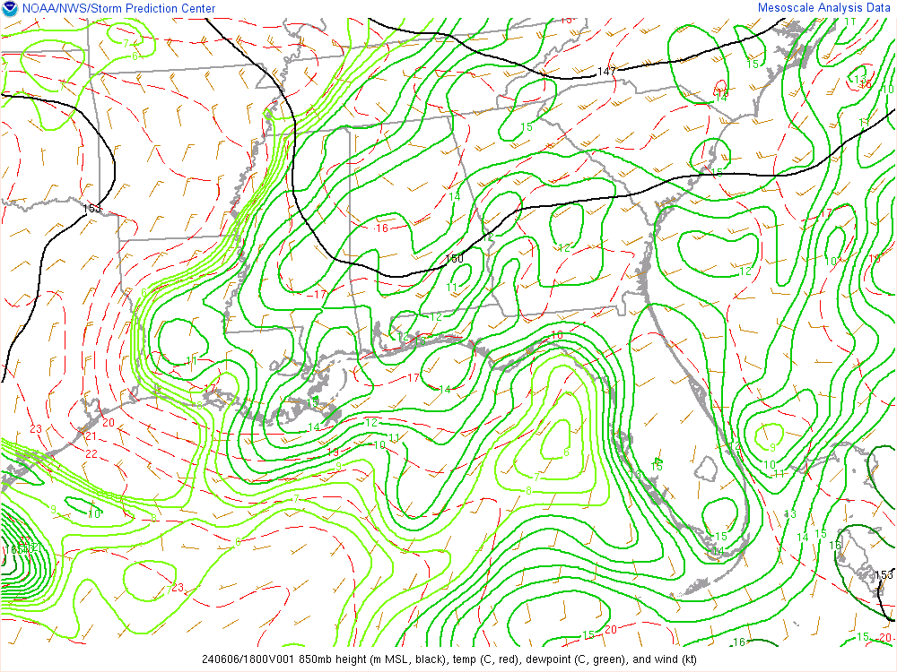
How do you read this? Laymen terms please. What is it showing? Like to learn about these tools.