Brent
Member
Looking a lot better on visible. Gonna be a giant eye
There it is again from NHC....Tropical Storm Beryl Discussion Number 36
NWS National Hurricane Center Miami FL AL022024
1000 AM CDT Sun Jul 07 2024
Beryl has become better organized this morning. Satellite images
show deep convection becoming more symmetric around the center, and
Brownsville radar has been showing an eyewall forming, although
still open on the northwest side. An Air Force Reserve Hurricane
Hunter aircraft recently reported maximum flight-level winds of 62
kt with the central pressure falling to 992 mb, so the initial wind
speed is raised to 55 kt.
Further intensification is likely as Beryl moves over very warm
waters within light shear conditions. Rapid intensification is a
distinct possibility if the core can become isolated from the dry
air that has been inhibiting intensification during the last day or
so. While there are no changes to the intensity forecast based on
the latest guidance, we are expecting Beryl to be intensifying up
until landfall early Monday, and people should be preparing for the
possibility of a category 2 hurricane landfall.
Beryl continues to move northwestward at 9 kt. The storm
should turn north-northwest this afternoon and make landfall
along the middle Texas coast early on Monday. The new forecast
is very close to the previous one, just a shade to the east. After
Beryl moves inland, the latest guidance still shows the system
accelerating farther northeastward and become a post-tropical
cyclone. This should bring the threat of flash flooding well into
Missouri.
FORECAST POSITIONS AND MAX WINDS
INIT 07/1500Z 25.9N 95.1W 55 KT 65 MPH
12H 08/0000Z 27.1N 95.7W 65 KT 75 MPH
24H 08/1200Z 29.2N 96.2W 75 KT 85 MPH...INLAND
36H 09/0000Z 31.4N 95.7W 35 KT 40 MPH...INLAND
48H 09/1200Z 33.6N 94.2W 25 KT 30 MPH...INLAND
60H 10/0000Z 36.2N 91.7W 25 KT 30 MPH...POST-TROP/INLAND
72H 10/1200Z 38.6N 89.2W 20 KT 25 MPH...POST-TROP/INLAND
96H 11/1200Z 42.8N 83.6W 20 KT 25 MPH...POST-TROP/INLAND
120H 12/1200Z 46.0N 79.0W 20 KT 25 MPH...POST-TROP/INLAND
$$
Forecaster Blake
*Edit: note the forecasted 85 mph as of 7AM CDT is when it has already been inland a few hours thus implying higher forecasted landfalling max winds.
Good grief....the comparison to yesterday is amazing.Looking a lot better on visible. Gonna be a giant eyeView attachment 148397
There it is again from NHC....
"Rapid intensification is a DISTINCT POSSIBILITY".....
That means that it clearly could happen......
Indeed, rapid for a short period is possible. That’s why I feel a cat 2 (~100 mph) like the 6Z HWRF has is a very reasonable possibility. Note that should it occur that this would be RI (due to the low shear and up to 88F SSTs) as opposed to historic/explosive intensification like what Beryl did on approach to the Windwards. The center’s too broad for that, fortunately. But a strengthening cat 2 would be bad enough. I earlier mentioned an outside shot at a low end cat 3, but I feel that’s become an even more remote possibility now. So, either a cat 1 or else a 2 (if there’s RI) is my current call.
No surprise, I'm all in with HWRF. It's basically the only model that has been effective with this storm.Soon after I further minimized the chance for a low end cat 3 as per the above, the 12Z has exactly that, a 960 mb 112 mph landfall. With my thinking not having changed over the last hour and the other 12Z hurricane runs having only a cat 1/970s lowest SLP, I'm discounting this outlier at least for now. Besides, the HWRF sometimes is too strong.


May be seeing an upgrade to Hurricane soon.
Meg mentions some tornadoes Tuesday for parts midsouth ….May be seeing an upgrade to Hurricane soon.
Wouldn’t mind seeing that post landfall path move some more eastward so we can get in on some good rains up here.Meg mentions some tornadoes Tuesday for parts midsouth ….


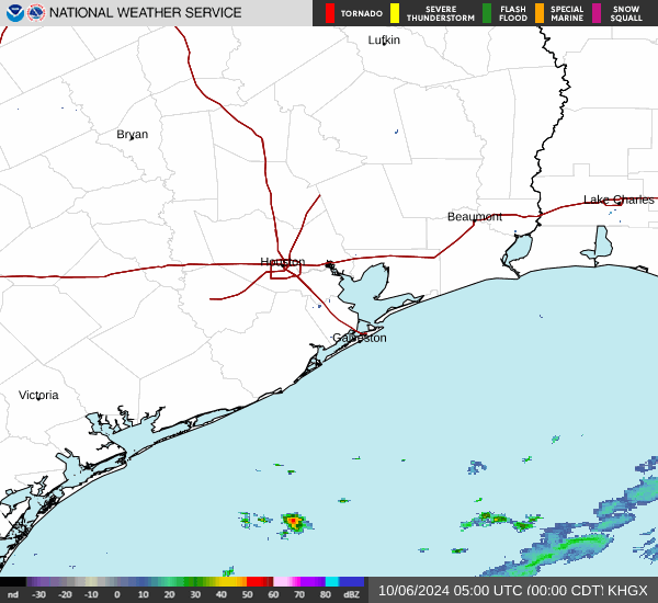
Am I missing something cause the SFMR data is not getting stronger?
It is slowly getting stronger. The latest extrapolated SLP from recon (as of 30 minutes ago) was 983.7 mb, which was ~2 mb lower than 90 minutes earlier.

Meanwhile another dropsonde had 988 mb. So, based on dropsondes, Beryl has not been strengthening over the last 6 hrs.
Also, this last recon center fix was actually a shade E of N though that could easily be just due to a wobble.
Hard to say what Beryl means for the rest of the season. The approach to the Texas coast should get it to 75 mph