- Joined
- Jul 28, 2024
- Messages
- 888
- Reaction score
- 456
Speaking of outages, they are starting to pile up now!



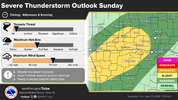
Brother that's just some bird fart thunderstorms. hahahahAnd the lack of talk about today's Yellow boxes and Red light scenario is going to pan out. We are definitely going to see some rain.


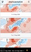
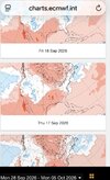
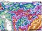
Very surprised the lack of talk in here on how amazing the CAD looks for next week across the Carolinas.


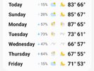
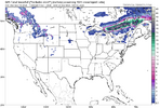
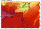
GFS locally next Wed-Fri: 80, 79, 83its fun to watch the euro slowly re-gain its ability to lead the way on temp trends as we inch towards fall. GFS MOS destroys it all summer


My mother is from Syracuse and my father is from Watertown. Looks like this is on the thruway. Sending you best wishes!On our drive to Montreal for the cycling world championships… makes me wish for all of us …that the weather in central NY makes its way to us. Just stunning .
Sent from my iPhone using Tapatalk
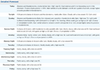


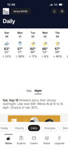


Ill paint the Bermuda and let them play imby if they bring the rain with themIf your goal in life is to get struck by lightening. Just go to a clemson football game. 3 weeks in a row
Its amazing whole south in drought but come Saturday wherever theres a game it dumps.Ill paint the Bermuda and let them play imby if they bring the rain with them
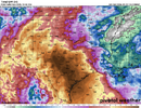
That might be worthy of the first pot of chili of the seasonThursday afternoon
Nice. We are racking up down here in Jonesville too. No gauge now but we have over 1 inch here and more maybe on the way. Parts of Cherokee really getting it tonight too.1.12” IMBY so far.

NWS gonna need to issue some Cool Weather Watches; the public needs to be prepared.It looks like Wednesday is finally the day...