-
Hello, please take a minute to check out our awesome content, contributed by the wonderful members of our community. We hope you'll add your own thoughts and opinions by making a free account!
You are using an out of date browser. It may not display this or other websites correctly.
You should upgrade or use an alternative browser.
You should upgrade or use an alternative browser.
Severe Severe Weather 2/3-2/4
- Thread starter SD
- Start date
Z
Zander98al
Guest
Z
Zander98al
Guest
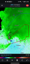
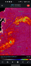
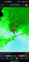
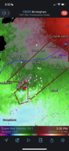
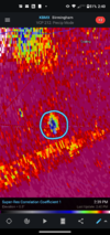
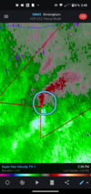
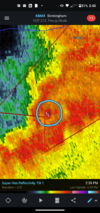
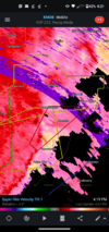
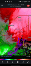
PDS tornado warning issued!!
Z
Zander98al
Guest
Z
Zander98al
Guest
Z
Zander98al
Guest
Z
Zander98al
Guest
HSVweather
Member
Z
Zander98al
Guest
Looks like it's starting to let up some. More north it goes the less instability
Ron Burgundy
Member
Reid Timmer live stream fwiw…
Z
Zander98al
Guest
Z
Zander98al
Guest
thanksgivingbrown
Member
This is clearly back on the ground causing damage
Z
Zander98al
Guest
RollTide18
Member
It refuses to die down, long tracker for sure
I be damned if I would live in this area of Alabama from Tuscalossa County into West Jefferson. The most intense, frequent area of the south to get hit or it seems that way.
Z
Zander98al
Guest
Seems like it's fizzled out. May do a quick spin up . But it's lost its favorable enviromentIt refuses to die down, long tracker for sure
Z
Zander98al
Guest
- Joined
- Jan 5, 2017
- Messages
- 3,769
- Reaction score
- 5,966
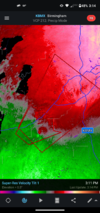
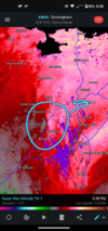
I wonder if you can see anything due to the heavy rain surrounding this rotation. Heading for southwest Birmingham.
Yeah I live right in the line of fire in Bessemer and I am currently hunkered down in the concrete parking deck at the local hospital. We get used to it in ways and sometimes you don’t get used to it but it is tiresome for sure!
I be damned if I would live in this area of Alabama from Tuscalossa County into West Jefferson. The most intense, frequent area of the south to get hit or it seems that way.
Warning got cancelled! Really fell apart there which is great news.
Z
Zander98al
Guest
Z
Zander98al
Guest
Z
Zander98al
Guest
Z
Zander98al
Guest
Z
Zander98al
Guest
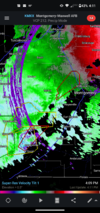
Here we go again
Z
Zander98al
Guest
Z
Zander98al
Guest
Sadly 1 person has died from the tornado earlier
Z
Zander98al
Guest
May be more injuries and such, the tornado went through a mobile home area.
Z
Zander98al
Guest
Z
Zander98al
Guest
3 preliminary ef2 tornadoes for this event so far. One may be bumped to a ef3.

