Tight couplet rolling through Warner Robins AFB
-
Hello, please take a minute to check out our awesome content, contributed by the wonderful members of our community. We hope you'll add your own thoughts and opinions by making a free account!
You are using an out of date browser. It may not display this or other websites correctly.
You should upgrade or use an alternative browser.
You should upgrade or use an alternative browser.
Severe Severe Threat 3/31-4/3
- Thread starter SD
- Start date
StoneColdHeel
Member
Lots of rain this morning. Might be a good thing to keep the instability down for this afternoon.
Ron Burgundy
Member
Lol. The one severe mode FFC said we didn’t need to worry about
Going to be interesting to see how much instability we can generate today and how much subsidence was left in wake of the morning disturbance. With how much forcing is approaching you'd expect at least a broken line to move w to e today
Downeastnc
Member
Going to be interesting to see how much instability we can generate today and how much subsidence was left in wake of the morning disturbance. With how much forcing is approaching you'd expect at least a broken line to move w to e today
Timing is good for severe with peak heating being around the time the front comes through... any filtered sun would make things interesting.
We got 1.25" in under an hour here in Athens last night. Total 1.75" for the overall.
StoneColdHeel
Member
SPC downgraded most of NC to a level 1 risk. As usual when we have rain in the morning and it takes a while to clear up. Usually need some clearing and sun to get the storms going here.

StoneColdHeel
Member
Meanwhile, starting to clear here in central NC. Sun is peeking out. Maybe it'll be enough to get the spark needed for storms.
Psalm 148:8
Member
- Joined
- Dec 25, 2016
- Messages
- 345
- Reaction score
- 792
Enhanced risk did not verify in Al/GA . For this I am thankful.
Brent
Member
Enhanced risk did not verify in Al/GA . For this I am thankful.
Yeah it's crazy the amount of people I've seen mad it wasn't that bad... Like really
Well dern...

Downeastnc
Member
Trying


Need to watch this cell

SnowwxAtl
Member
The wind is howling at the ATL airport...geesh!!!
vsublazer
Member
Crisp County on road to recovery after EF-1 tornado hits early Wednesday morning
If you have loved ones in the area you wanted checked, first responders recommend reaching out to the Red Cross.
 www.13wmaz.com
An EF-1 tornado struck about a mile from my mom’s house in Crisp County around 5:00 this morning.
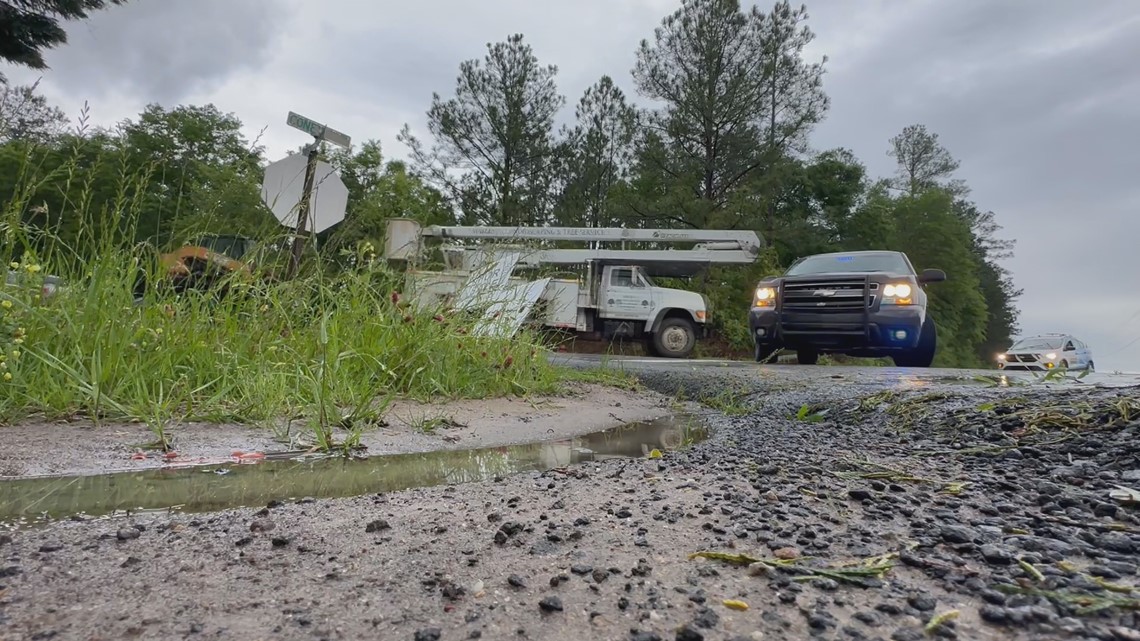
Conyers tornado rated an EF-2
EastAtlwx
Meteorologist
LukeBarrette
im north of 90% of people on here so yeah
Meteorology Student
Member
2024 Supporter
2017-2023 Supporter

Was chasing that cell. 45 minutes or so after that screenshot I had a funnel try to put down, you can kind’ve see it in the picture. Even though I don’t think it produced, this barber pole structure was insane. Inflow was ripping 50-60 mph into it nearly blowing my hat off.
Last edited:
Mahomeless
Member
- Joined
- Oct 17, 2023
- Messages
- 900
- Reaction score
- 2,158
Not a good way for the SPC to start off the season......especially if we do get a setup to produce.