Brent
Member
Unless Im forgetting something, I’m pretty sure this weekend could be the best rainfall for Oklahoma in at least half a year.View attachment 172566
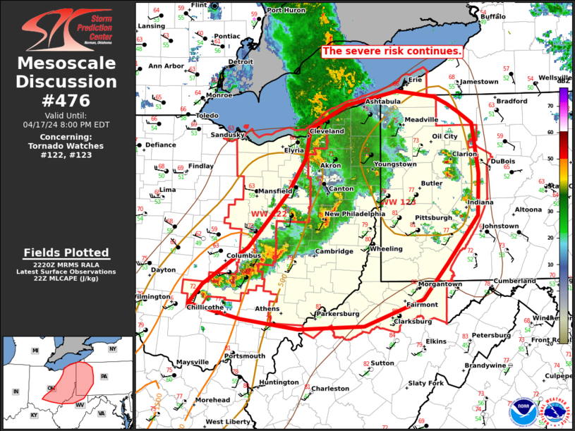
Yeah and next week is looking active too
Feast time
Unless Im forgetting something, I’m pretty sure this weekend could be the best rainfall for Oklahoma in at least half a year.View attachment 172566


Denver has always seemed like an awesome place to live for weather. Lots of snow despite not being all that cold and they get some insane temperature swings in the spring. They average over 6” of snow in April!

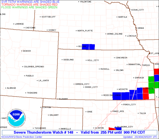

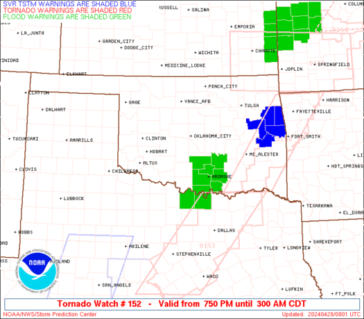
Nothing but flooding here

At least a chance of thunderstorms in the forecast everyday for the next week starting Wednesday. It’s definitely Spring.View attachment 172580

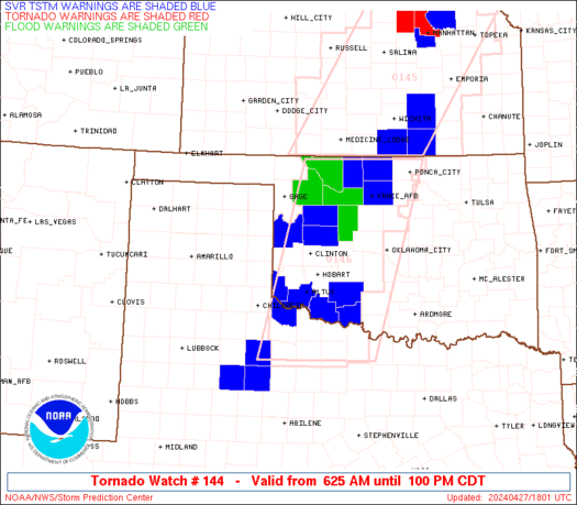
Third week in a row here with elevated flooding threats.View attachment 172627


Not sure I've ever seen this before in Chicago View attachment 172807