Broken024
Member
It's actually a crappy setup. Never trust ULL's from the SW unless they're large and disorganized.This one looks better. Too bad it's a million days away.View attachment 95729
I always think the opposite.. I suppose you can never trust them but more often than not they are going to surprise you with something .. obviously we don’t know what we’re dealing with this far away but seems funIt's actually a crappy setup. Never trust ULL's from the SW unless they're large and disorganized.
Well, verbatim of course. You really can't trust anything 5 days out.I always think the opposite.. I suppose you can never trust them but more often than not they are going to surprise you with something .. obviously we don’t know what we’re dealing with this far away but seems fun
let’s please trend to some rain View attachment 95738
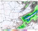
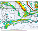
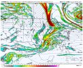
Making its own cold airLooks legitView attachment 95728
NW trend should have us sitting pretty soon enoughlet’s please trend to some rain View attachment 95738
I’m not joking if we miss out on this then severe drought is knocking on the doorlet’s please trend to some rain View attachment 95738
NW trend should have us sitting pretty soon enough
Nice apps rubber to start off Met winter!View attachment 95755
Not too shabby of a look day 10 on the Euro as we start cranking up December
Yes pretty much always! Now on a cloudy day or if it's raining I have seen my Davis about 1 degree colder.Does your flow always drop below your davis? I've noticed that for most cold mornings my flow is 1-2 cooler than davis
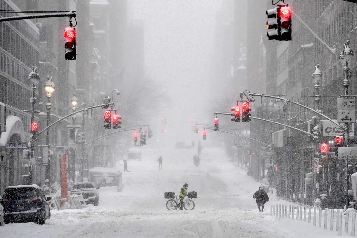
Almost comical …LOL, whatever, I/we hope...

Farmer's Almanac Predicts an Extra-Long, Extra-Cold Winter with 'Bone-Chilling' Temperatures
The Farmer's Almanac is warning the U.S. to gear up for a wintery season that could be one of "the longest and coldest that we've seen in years"www.yahoo.com
