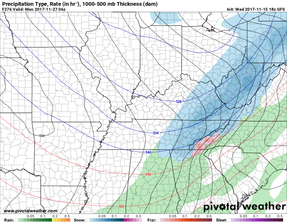
• Hello, please take a minute to check out our awesome content, contributed by the wonderful members of our community. We hope you'll add your own thoughts and opinions by making a free account!

Pattern November Knock-Out

The GFS could be onto something. 6z had winter mischief mostly over the upper south and the 12z GFS also had winter mischief. Both runs had it over the 300 hour mark. The reason why I say the GFS could be onto something is because it showed winter mischief twice past 300 hours. What's the chance? Still a small chance of anything happening, but if we start to see consistency, the chances of something wintry happening goes up.

Sent from my SM-J327T1 using Tapatalk
Same data used in both runs. Nothing exciting.
Yeah the 12z GEFS post 300 is belt bursting exciting
If the EPS is similar then sounds like a chance.
 
Belt bursting
82e2fd12b5035d71e3c588d1fff81948.jpg


Sent from my SM-J320VPP using Tapatalk

The elephant in the room is the small three digit number on the upper left of the image.
 
I took a look over the 12z EPS control and it's showing a very weak low coming about in TX after the 5th as the cold air is coming down from the north and north west. As the cold is progressing south and southeastward, it suppresses the low. We actually may have a legit "something" wintry to track soon.
 
Half of the hemispheric circulation is already favorable-very favorable for cold weather here in the southeastern US with a persistent and rather large blocking pattern over the North Atlantic (hastened by the recent -AAM propagation into the mid latitudes)
eps_z500a_5d_nh_21.png


Now, we're just waiting on the Pacific side to cooperate...
Keep in mind during a NINA with a fading westerly QBO, the mean bgd state favors a huge ridge over Alaska, the Bering Sea, and Eurasia where there's currently a big vortex... This means eventually the pattern will attempt to restore itself to this base state and another ACWB event will occur in the NE Pacific/Rockies that tries to stick a ridge in/around Alaska (which retrogrades westward w/ time). If the Greenland blocking ridge remains in place the next time this occurs (which is forecast to occur in a little over a week), then a massive arctic outbreak will subsequently ensue over the east-central US...

This is what's currently depicted on most of the guidance...

Day 1-5 North Pacific z500 (EPS)

eps_z500a_5d_npac_21.png
WQBO/NINA December North Pacific z500. Note how it's virtually the polar opposite of the front 5 days...
MWZ2MRbdCQ.png

Notice by day 10-15, the pattern is already trying to restore to this mean WQBO/NINA base state, the heights are falling over northern China, Korea, and Japan, and rising to the north over Alaska, the Bering Sea, and northeastern Eurasia... This restoration of the base state w/ help from intraseasonal forcing from the MJO, effectively helps trigger the ridge over western North America which finally shuts off the SE US ridge and sends a huge wave of arctic air plunging into the east-central US near the end of the period
eps_z500a_5d_npac_61.png
 
Half of the hemispheric circulation is already favorable-very favorable for cold weather here in the southeastern US with a persistent and rather large blocking pattern over the North Atlantic (hastened by the recent -AAM propagation into the mid latitudes)
View attachment 1570


Now, we're just waiting on the Pacific side to cooperate...
Keep in mind during a NINA with a fading westerly QBO, the mean bgd state favors a huge ridge over Alaska, the Bering Sea, and Eurasia where there's currently a big vortex... This means eventually the pattern will attempt to restore itself to this base state and another ACWB event will occur in the NE Pacific/Rockies that tries to stick a ridge in/around Alaska (which retrogrades westward w/ time). If the Greenland blocking ridge remains in place the next time this occurs (which is forecast to occur in a little over a week), then a massive arctic outbreak will subsequently ensue over the east-central US...

This is what's currently depicted on most of the guidance...

Day 1-5 North Pacific z500 (EPS)

View attachment 1571
WQBO/NINA December North Pacific z500. Note how it's virtually the polar opposite of the front 5 days...
View attachment 1572

Notice by day 10-15, the pattern is already trying to restore to this mean WQBO/NINA base state, the heights are falling over northern China, Korea, and Japan, and rising to the north over Alaska, the Bering Sea, and northeastern Eurasia... This restoration of the base state w/ help from intraseasonal forcing from the MJO, effectively helps trigger the ridge over western North America which finally shuts off the SE US ridge and sends a huge wave of arctic air plunging into the east-central US near the end of the period
View attachment 1573

Webb,
Remember that Santa suit for the SouthernWx party? You may wear it yet ... LOL ... :p
 
Webb,
Remember that Santa suit for the SouthernWx party? You may wear it yet ... LOL ... :p

Lol! Yeah the big ridge in the North Pacific in the fall and early winter aids in intensifying the polar vortex by weakening this primary stratospheric conduit, seeing a big trough dominate this region for the next few weeks or so during the earlier portions of the polar vortex's seasonal evolution is at least modestly encouraging wrt delaying the almost inevitable intensification (+AO/NAO tendency) that occurs in/around February in a NINA winter.
 
Lol! Yeah the big ridge in the North Pacific in the fall and early winter aids in intensifying the polar vortex by weakening this primary stratospheric conduit, seeing a big trough dominate this region for the next few weeks or so during the earlier portions of the polar vortex's seasonal evolution is at least modestly encouraging wrt delaying the almost inevitable intensification (+AO/NAO tendency) that occurs in/around February in a NINA winter.
Hell, Man, I was just inviting you to the party ... :cool:
But great post ... ;)
 
Back
Top