Huntsville AFD
Despite the conditional threat during the afternoon, the forecast becomes much more concerning by the evening as the upper-
trough and cold
front approaches from the west. Very strong low-level winds and vertical wind
shear will become established over the region as a
LLJ
begins to nose into the area just ahead of the
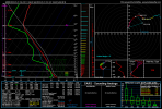
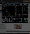
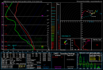
front. Resultant model soundings indicate large,
looping hodographs, with 0-1
SRH values of 200-300
m2/s2. Surface dewpoints in the mid to upper 60s
will yield
MLCAPE values of 500-1000
J/kg, more than sufficient for tornadic supercells in this very strongly-sheared environment. While the initial lack of forcing/weak
height falls may discourage robust
convection during earlier in the day, our feeling is that this will change by the evening and there will at least be a narrow window for
strong, discrete
supercell development just ahead of the intense line of storms that will be moving in along the cold
front. Should
this occur, these storms would pose a significant severe threat in the form of strong tornadoes. Timing of the most severe
convection has slowed down slightly in these latest model runs. The latest guidance is focusing on a 23-01z timeframe for discrete storms to form ahead of the line that should be approaching northwest Alabama by 00-01z and sweeping east across the area during the 00-06z window from west to east. It should be noted that the storm mode along the line itself may end up being quite messy, but a strong
tornado threat
will persist in any embedded
supercell structures that can form. This
tornado threat will also accompany a threat for strong damaging winds,
hail, and heavy
rainfall.

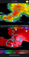

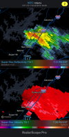
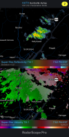


 @NWSSPC

