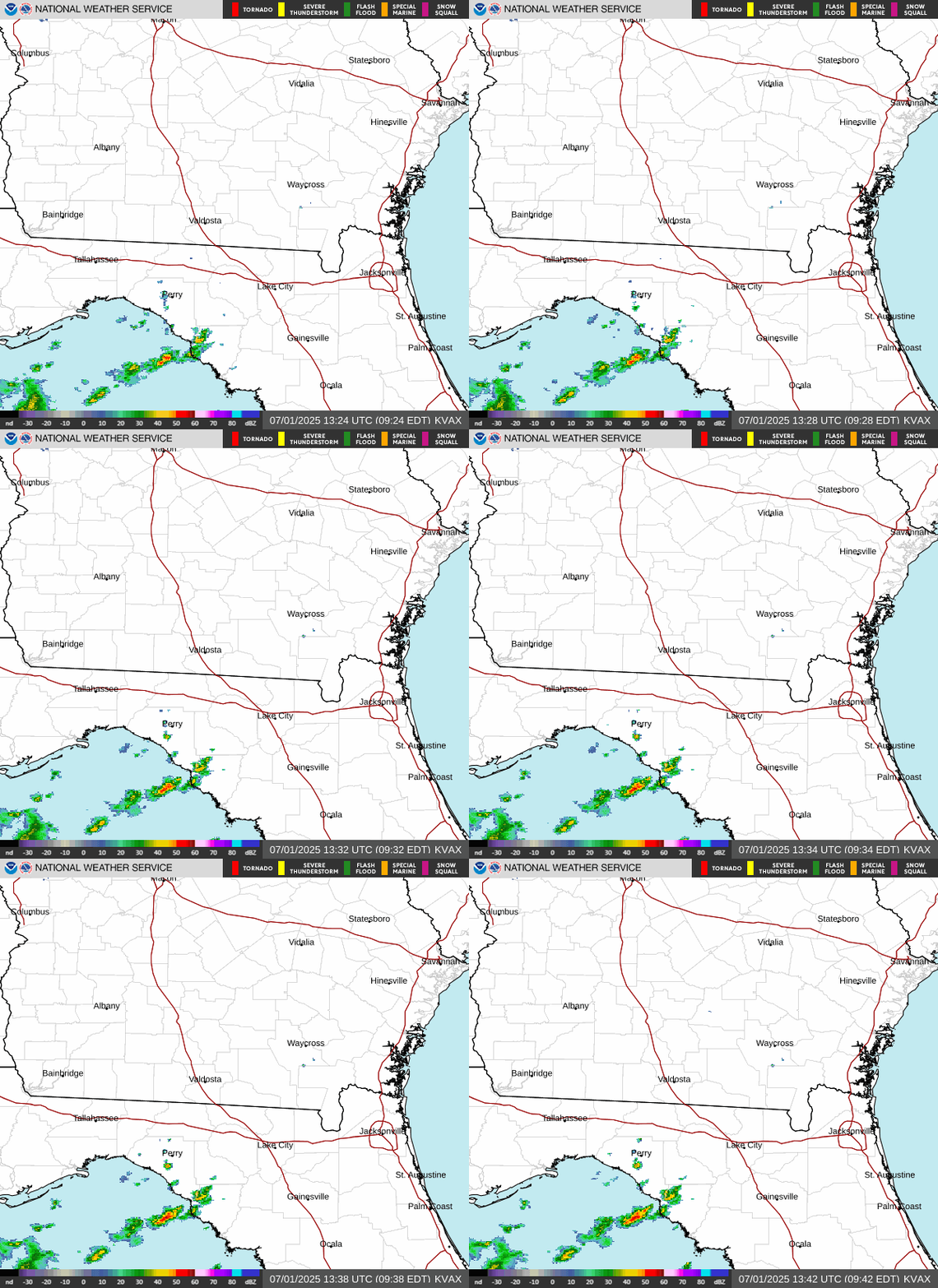
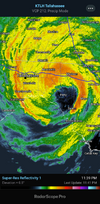
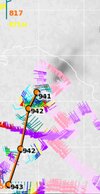
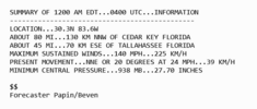
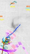
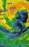
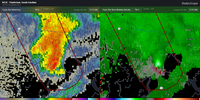
Up to 4-4.25” here just west of ATL. Flash flood warning already….
-
Hello, please take a minute to check out our awesome content, contributed by the wonderful members of our community. We hope you'll add your own thoughts and opinions by making a free account!
You are using an out of date browser. It may not display this or other websites correctly.
You should upgrade or use an alternative browser.
You should upgrade or use an alternative browser.
Tropical Major Hurricane Helene
- Thread starter SD
- Start date
- Status
- Not open for further replies.
Sctvman
Member
JZI has warmed up seven degrees in the last 3 hours from 75-82. Don’t see that often. Winds gusting at 30
South AL Wx
Member
For more story, there is a place that sells those little sheds across the road.
That was the only one out of at least 30+ that blew away.
Yeah I was watching some livestreams when it made landfall and all I could think was “y’all sure this is a cat4?” Obviously there are major issues with this storm but it just didn’t at all look like the typical stream from a land falling major hurricaneOne big tell.is the lack of major structural debris as they drive around. If perry just took the eyewall of 140mph cane then they must have some stellar building codes. Not much tree debirs or building debris scattered around
Belle Lechat
Member
- Joined
- Aug 29, 2021
- Messages
- 1,529
- Reaction score
- 1,215
Shaggy
Member
Yeah the highest sustained wind in Perry was 55mph with a gust near 100 according to TWC. Seemed strange to me.Yeah I was watching some livestreams when it made landfall and all I could think was “y’all sure this is a cat4?” Obviously there are major issues with this storm but it just didn’t at all look like the typical stream from a land falling major hurricane
Pressure dropped 34 mb in 24 hours, that's intense.
Brent
Member
Yeah I was watching some livestreams when it made landfall and all I could think was “y’all sure this is a cat4?” Obviously there are major issues with this storm but it just didn’t at all look like the typical stream from a land falling major hurricane
To be fair I do wonder if some of that is because it hit the middle of nowhere and also Perry is a good 10 miles inland. It's not even on the beach
F-5
Member
The fact they had a storm hit less than a year ago means that it would be like a storm hitting Mexico beach today, structures that were weak were impacted previously and have been rebuilt to high standardsYeah I was watching some livestreams when it made landfall and all I could think was “y’all sure this is a cat4?” Obviously there are major issues with this storm but it just didn’t at all look like the typical stream from a land falling major hurricane
Looks due north the last few frames.
Shaggy
Member
A cat 4 isn't gonna weaken that much in 10 miles. There's a better chance that even though we saw crazy flight level winds and low pressures the wind field just wasn't or didn't have time to.get to the surface.To be fair I do wonder if some of that is because it hit the middle of nowhere and also Perry is a good 10 miles inland. It's not even on the beach
Isabel in 2003 was a good case study on that. I had a pressure of 954mb saw a hurricane hunter fly through the eye as i sat in the calm southwest side of the eye and we only gusted to 51mph with a 954mb pressure
SnowwxAtl
Member
I still see NNELooks due north the last few frames.
TWC says water rescues in Clearwater.
Check timestamps on your radars. Some of the sites are wonked out and old imagery b/c of power issues etc. I am using KTLH and it is working so far.
Darklordsuperstorm
Member
lj0109
Member
Brent
Member
This thing is moving so fast, that northern eyewall already about to slam Valdosta. It would have to hook quickly NW for Atl to get the doomsday scenario that was being progged, fortunately that does not look to be the case.
Even though this area is far from the center (over 200 miles), sustained winds/gusts (to 40+) have increased substantially the last 30 minutes. Im hearing loud roars already from the wind. I just heard a nearby transformer blow. I expect power will likely be lost at some point here, perhaps very soon. GA Power outages are now starting to rise rapidly. This is going to be a very long rest of the night. It has already been a long night with the tornado warnings/heavy showers/gusty winds earlier. Stay safe folks!
Just heard another transformer blow. Debris hitting the roof.
Just heard another transformer blow. Debris hitting the roof.
Last edited:
Even though this area is far from the center (over 200 miles), sustained winds/gusts (to 40+) have increased substantially the last 30 minutes. Im hearing loud roars already. I just heard a nearby transformer blow. I expect power will likely be lost at some point here, perhaps very soon. GA outages are now starting to rise rapidly. Stay safe folks!
Some very strong gusts (60+, some hurricane force) in that far outer band.
Sctvman
Member
Edisto had a tornado hit during Debby
Drizzle Snizzle
Member
Amazing. And I think i'm closer to the center than you are and the winds are very light.Even though this area is far from the center (over 200 miles), sustained winds/gusts (to 40+) have increased substantially the last 30 minutes. Im hearing loud roars already from the wind. I just heard a nearby transformer blow. I expect power will likely be lost at some point here, perhaps very soon. GA Power outages are now starting to rise rapidly. This is going to be a very long rest of the night. Stay safe folks!
Picked up another .5 over the last hour. Steady nonstop Rain all day..
Drizzle Snizzle
Member
4.30" here so far.
Over 1.1 million out of power in FL. And this is only the data able to be tracked....
Shaggy
Member
I agree worst case for winds definitely off the table for ATL. Rain is piling up tho. Won’t take a ton to bring down trees.This thing is moving so fast, that northern eyewall already about to slam Valdosta. It would have to hook quickly NW for Atl to get the doomsday scenario that was being progged, fortunately that does not look to be the case.
wind is starting to make a different sound here. Pretty good sustained winds with heavy rain and still several hours til game time. Man
EastmanGAWX
Member
Valdosta is getting slammed right now, I'm reading reports of numerous power outages and structural damage transpiring.
lj0109
Member
NHC still has present movement NNE or 20 Degrees @ 24 MPH as of the 00:00 Hourly UpdateSorry for my lame ass ametuer attempt to extrap motion from last center fix to where the eye is now. Probably had some east motion due to landfall. That's not an insignificant east jog
Ron Burgundy
Member
8.47” of rain here since yesterday at 3pm. Guessing we have another 2-4” to go. Never seen this much rain in that short of a time here in my 58 years.
Maybe due to it already starting the transition to ET as a result of interaction with the ULL, helping that wind field really expandEven though this area is far from the center (over 200 miles), sustained winds/gusts (to 40+) have increased substantially the last 30 minutes. Im hearing loud roars already from the wind. I just heard a nearby transformer blow. I expect power will likely be lost at some point here, perhaps very soon. GA Power outages are now starting to rise rapidly. This is going to be a very long rest of the night. It has already been a long night with the tornado warnings/heavy showers/gusty winds earlier.In Stay safe folks!
Just heard another transformer blow. Debris hitting the roof.
Some very strong gusts (60+, some hurricane force) in that far outer band.
These higher winds coming in here recently have been without rain.
Maybe due to it already starting the transition to ET as a result of interaction with the ULL, helping that wind field really expand
Maybe but remember that TS force winds have been ~350 miles from center in E portion for many hours. It is massive!
lj0109
Member
Shaggy
Member
Livestreams are not showing much in perry in the southern eyewall
accu35
Member
Everyone be safe
- Status
- Not open for further replies.

