Belle Lechat
Member
- Joined
- Aug 29, 2021
- Messages
- 344
- Reaction score
- 283
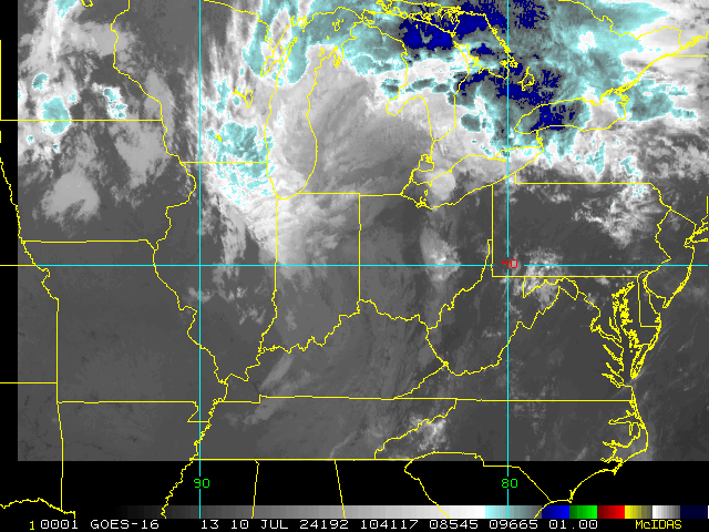
051030 1942N 08602W 6970 02955 9675 +228 +144 264023 029 014 001 00
12:10 CDT
12:10 CDT
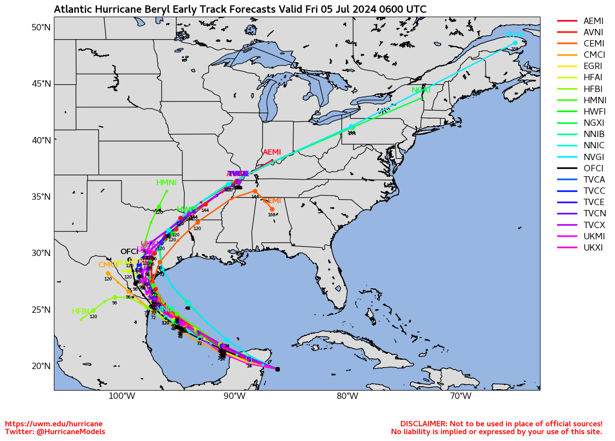
0Z Hurricane models are also somewhat N of their prior runs from what I’ve read:
HWRF: Corpus at 970 mb
HAFS A: 30 miles S of TX border at 981 mb
HAFS B: 50 miles S of TX border at 993 mb
If I were in S TX, I’d be getting more worried and thus prepared.


Last pass before landfall saw sharply rising pressures right?
.gif")
Yeah so the first pass on that mission had 964 ans the last had 973. This was several hours prior to landfall and a pressure of 980mb. That's a pretty rapid rise in pressure as it approached and then made landfall. Still a formidable storm but my guess based on a meager SFMR eyewall.drop at the end of the flight that this was not steady state and more likely a rapidly weakening hurricane at landfallLast pass was 4-5 hours before landfall, so not then, but they did go up 10 mb to 975 mb by landfall.
6:05 AM EST Fri Jul 5
Location: 20.3°N 87.4°W
Moving: WNW at 15 mph
Min pressure: 975 mb
Max sustained: 110 mph
Current recon postponed?
7:00 AM CDT Fri Jul 5
Location: 20.4°N 87.6°W
Moving: WNW at 15 mph
Min pressure: 980 mb
Max sustained: 100 mph
Yeah so the first pass on that mission had 964 ans the last had 973. This was several hours prior to landfall and a pressure of 980mb. That's a pretty rapid rise in pressure as it approached and then made landfall. Still a formidable storm but my guess based on a meager SFMR eyewall.drop at the end of the flight that this was not steady state and more likely a rapidly weakening hurricane at landfall
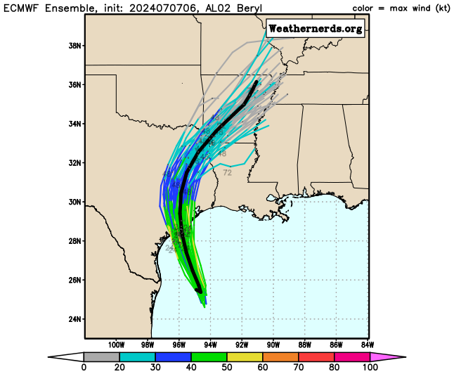
looks like its following the HWRF forecast almost to the exact numerical value as it moves across. I think we'll see it go crazy in the gulf....jmoYeah so the first pass on that mission had 964 ans the last had 973. This was several hours prior to landfall and a pressure of 980mb. That's a pretty rapid rise in pressure as it approached and then made landfall. Still a formidable storm but my guess based on a meager SFMR eyewall.drop at the end of the flight that this was not steady state and more likely a rapidly weakening hurricane at landfall