NBAcentel
Member
Yeah started noticing it on last nights euro, could cause some wild changes on 12z data if it continuesTPV nearly came out of nowhere lol
Sent from my iPhone using Tapatalk

Yeah started noticing it on last nights euro, could cause some wild changes on 12z data if it continuesTPV nearly came out of nowhere lol
Sent from my iPhone using Tapatalk


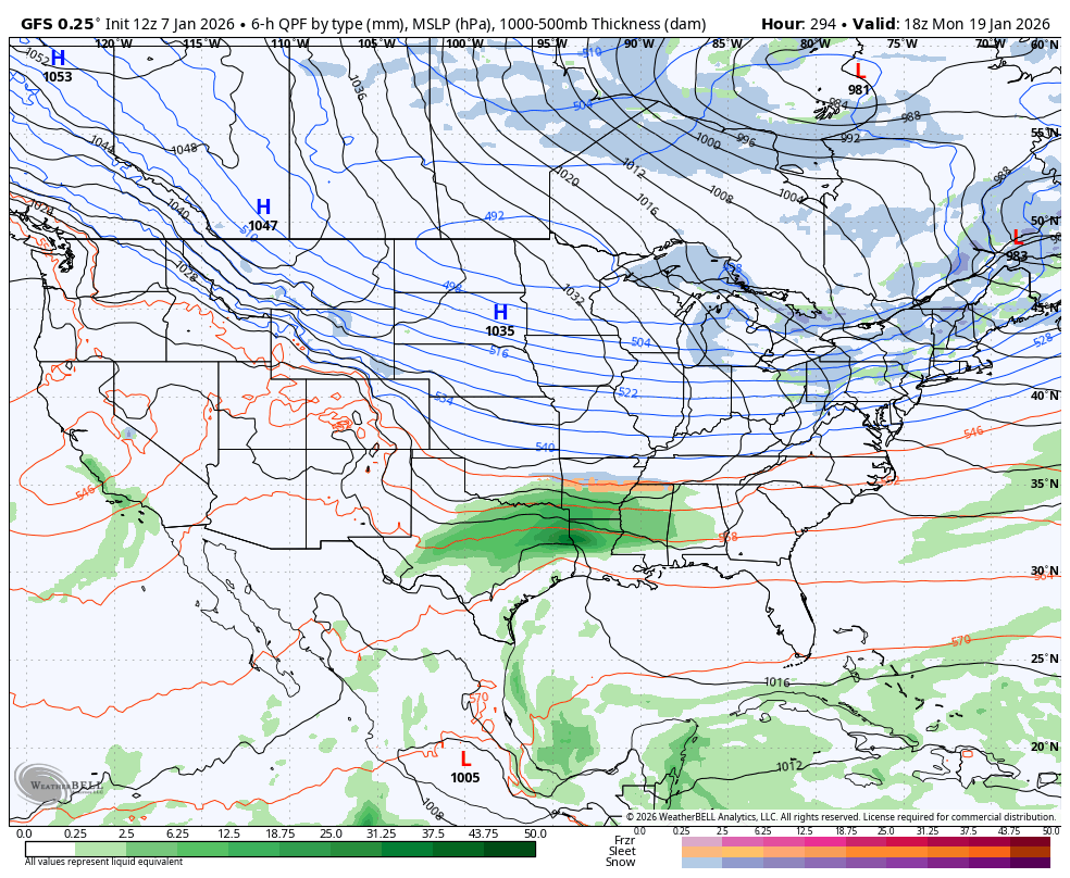
Probably would be a slop event at best with the 2nd half being the snow event if things went right but I like where the icon was heading, gives a new concept with introducing a TPV donut into the equation, would probably flip the 2nd half of the event to snow for some areasView attachment 181547
View attachment 181548
Thats two 180 hour runs in a row of a significant storm brewing. When was the last time you saw a trough dig that far south and turn up the coast? GFS honking the horn as well...
Mountain board members would get an insane paste job though for most of the event.Probably would be a slop event at best with the 2nd half being the snow event if things went right but I like where the icon was heading, gives a new concept with introducing a TPV donut into the equation, would probably flip the 2nd half of the event to snow for some areas
I told you, this pattern has big doggie potential!There’s a alt universe where you drop the TPV down to the lakes and phase it with this thing View attachment 181546View attachment 181545

If NG traders would have been following SouthernWx.com yesterday, they would have made a lot of money.Yesterday, NG was down 5% mainly on warmer week 2 forecasts in the E US due largely to warmer GEFS/EPS means. Today (as of now), the opposite has occurred with a 5% gain mainly on colder week 2 E US forecasts due to colder GEFS/EPS means in the E US vs yesterday:
Last 4 GEFS week 2 means through 6Z:
View attachment 181543
NG up 5%
View attachment 181544

Another thing I like about this look to is if you whiff the first one, it still likely eventually phases and you set up a big low somewhere in the NATL with a trailing high, with another shortwave right behind it entering the PNW View attachment 181553
Look at that dipAnother thing I like about this look to is if you whiff the first one, it still likely eventually phases and you set up a big low somewhere in the NATL with a trailing high, with another shortwave right behind it entering the PNW View attachment 181553

to me. not a snow look. but can't think of the last time we've had a storm type like this, a qpf bomb that effortlessly tilts negative with some getting accumulations because screw it there's some cold air down there somewhere. related to this is that there really hasn't been a blockbuster for anywhere in the northeast. everyone has been starving lately, except one place for some reason: southern virginiaProbably would be a slop event at best with the 2nd half being the snow event if things went right but I like where the icon was heading, gives a new concept with introducing a TPV donut into the equation, would probably flip the 2nd half of the event to snow for some areas

That trailing shortwave though entering Montana. Guess we gotta hope for the first one to be amped and slow for more confluence on the eventual second one ? Puzzle peices starting to come together it seems View attachment 181554
Yup, that’s what it seems, notice the 18z run and today’s run had a initially slower/deeper EC troughThat trailing shortwave though entering Montana. Guess we gotta hope for the first one to be amped and slow for more confluence on the eventual second one ? Puzzle peices starting to come together it seems View attachment 181554


Yup, that’s what it seems, notice the 18z run and today’s run had a initially slower/deeper EC trough View attachment 181556
The 18z run produced yesterday and so did 12z today. What happens mid next week is important it seems, a slower more deeper trough with a early phase sets us up for something better View attachment 181557


You take this look 100/100x with an overrunning setup. That NW side will be much more expansive from FGEN driven WAA.Yup, that’s what it seems, notice the 18z run and today’s run had a initially slower/deeper EC trough View attachment 181556
The 18z run produced yesterday and so did 12z today. What happens mid next week is important it seems, a slower more deeper trough with a early phase sets us up for something better View attachment 181557
#natgasBig cold shot on the 12z GFS around 1/15. Let’s see if it sets the table for fun later on in the run
View attachment 181560
Looks like part of it gets cut off and drifts west. Looks a little wonky on why it wouldn't ride the wave down and east.Here comes a shortwave entering the northern plains View attachment 181561


I was about to say. GFS loves to dump those things in the SW. Regardless jeez that’s a pretty look at 500Only thing I don’t like is how both the AIGFS and GFS farts the cutoff into the west coast and sends it off into the pacific though, but plenty of time View attachment 181563
Notorious for doing that. Correct me if I’m wrong but before the big gulf coast storm last year didn’t we spend a lot of time figuring out if/when that cutoff was going to kick east and the amplification timing and it was a big factor on which US region was going to even see winter weather? Like right up until a day or two before the storm? I’m pretty sure this is the same song and dance we always doWhat an idiot.. I mean who does this. What a moron.
View attachment 181564

It's definitely possible if the top of the ridge rolls over or if there's already a weakness out west. I like a good solid meridianal ridge axis out there. The models have been divergent about that.Only thing I don’t like is how both the AIGFS and GFS farts the cutoff into the west coast and sends it off into the pacific though, but plenty of time View attachment 181563


 Big cold above diving
BIG COLD DOME BROTHERRRRRRRRRRRRRRRRRRRRR
View attachment 181568
BIG COLD DOME BROTHERRRRRRRRRRRRRRRRRRRRR
View attachment 181568
