Webberweather53
Meteorologist
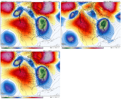
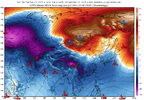
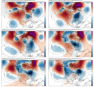
The extended GEFS does have a bias towards Pacific & Western Hemisphere convection, but it is interesting nonetheless that it tries to completely nuke La Niña later in January. The Euro weeklies aren't quite as bullish yet but also show rather persistent westerly/+U anomalies over the Pacific thru mid January or so
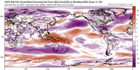
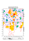
We don't need to go full boar El Niño (& we won't obviously), but if we nudge the ENSO state just enough to put us somewhere between La Niña & say a modoki El Niño, that completely changes the game for late winter.
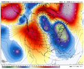
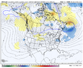
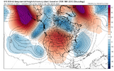
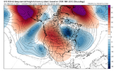
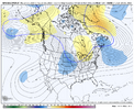
I.e. we could go from a prototypical -PNA/+TNH late winter Nina pattern to more of a +PNA/+TNH type look if we push the Warm Pool eastward enough. Only need a subtle change to the low frequency state & Pacific Jet to make that happen, but these are polar opposites in terms of sensible impacts especially in the SE US.

