tennessee storm
Member
It’s a clipper out of northwest flow thereIt’s a few tweaks from something pretty special
View attachment 180364
It’s a clipper out of northwest flow thereIt’s a few tweaks from something pretty special
View attachment 180364

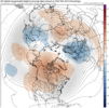
That hybrid clipper from January 2018.a digging wave with a strong -NAO ? When was the last time
Dating myself (January 77') but I remember watching WRAL out of Raleigh. Greg Fischel (IIRC) was showing the one low 'hitting' Raleigh right now, and another coming from Texas through the gulf. TWO BIG FAT L's: southern sliders. I don't know why recalling that has been in my memory bank forever. That sealed my weather nerd-dom. Indelible mark for sure. Here's to having it happening again.I have a feeling when we get closer we may actually have a “chance” at back to back storms. We will just have to see how it plays.
That was a weird event here in NE TN.
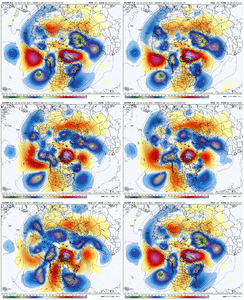
Yeah you can’t hate thatGEFSAI looks amazing with the western ridging, now that’s a blockbuster pattern View attachment 180380View attachment 180381
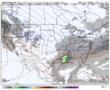
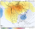
It probably doesn’t know what to do when something is happening in our favor so it just shuts down.Call it kicking the can, but I just don’t think the risk around the day 10 timeframe is our storm. I like just beyond that timeframe. But who knows.
Our ridge out West dramatically improves potentially. I just think the day 10 risk is a Mid Atlantic Northeast storm. But it’s a tone setter also..
12z EPS
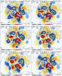
Btw, it took a diabolical amount of time for the EPS to fully run. Jeez.View attachment 180387
I like that -EPO,+PNA,-NAO there at the end
Sent from my iPhone using Tapatalk
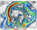
Some classic upper level looks showing up, polar jet injection with the western ridge and a active subtropical jet over the SE US View attachment 180388View attachment 180389View attachment 180390
I noticed it was adding momentum to the pacific jet again towards the end of the run, with a more classic Aleutian low as well
Yeh man.. I’m telling yall. We are gonna get an Arctic outbreak during the second half of January at some point.
Go ahead and take it to the bank as I’ll be on a plane to O’Hare for a work trip.So I have been gone most of the day, ummm
January 8th…
