-
Hello, please take a minute to check out our awesome content, contributed by the wonderful members of our community. We hope you'll add your own thoughts and opinions by making a free account!
You are using an out of date browser. It may not display this or other websites correctly.
You should upgrade or use an alternative browser.
You should upgrade or use an alternative browser.
Pattern January Joke
- Thread starter SD
- Start date
Bring on the 2/12/10 repeat!
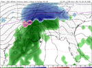
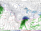
Both AI models have the storm but suppress it to Cuba. That AIGFS though is playing with fire.
about where we need it at this point though fully down the equator might make it even betterBoth AI models have the storm but suppress it to Cuba. That AIGFS though is playing with fire.
carolinachaos
Member
Honestly after seeing what the models were showing Monday for this weekend’s storm and what they are showing now. I do not trust any model. Especially the extreme solutions. Give me the surprise storm systems of the 80s and 90s.
Sent from my iPhone using Tapatalk
Sent from my iPhone using Tapatalk
Raining pretty good right now
Textbook. If that upper air pattern verifies and doesn't turn to crapola, we will 100% get actual snow.No way anything misses us to our NW in this pattern…no chance….i triple dog dare it too
View attachment 187407
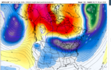
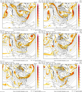
Always takes some luck, but I really like this period (next weekend). Pac Jet extending with Greenland ridge retrograding into Hudson Bay. Good combo to get some fantasy storms showing upBoth AI models have the storm but suppress it to Cuba. That AIGFS though is playing with fire.
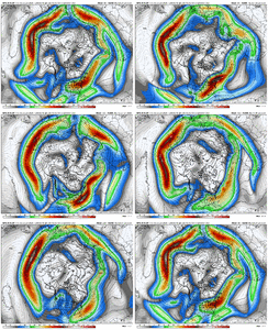
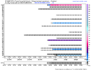
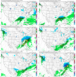
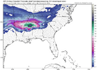
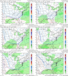
Weathernext Ensemble
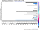
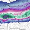
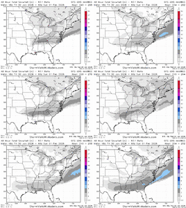
Snow trend on GEFS
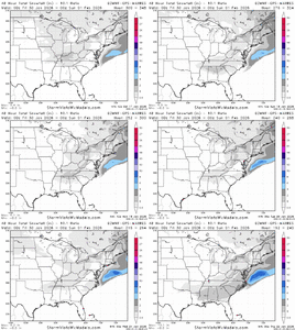
EPS Snow Trend
wow
Member
Encouraging signs from the ensemble runs. I'll wait until we're 48 hours out at the most this time. My faith is running low
Always takes some luck, but I really like this period (next weekend). Pac Jet extending with Greenland ridge retrograding into Hudson Bay. Good combo to get some fantasy storms showing up
View attachment 187494
Weathernext Ensemble
View attachment 187498
Snow trend on GEFS
View attachment 187496
EPS Snow Trend
View attachment 187497
Beautiful look.
Yes if this sticks the next few days it may be the most pessimistic storm thread of all timeEncouraging signs from the ensemble runs. I'll wait until we're 48 hours out at the most this time. My faith is running low
Brent
Member
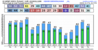
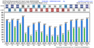
Good grief the Euro almost keeps me below freezing for 12 days
That's pretty extreme even for us if that verifies
That's pretty extreme even for us if that verifies
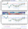
The 6Z GFS (like other recent ones) for the lows of Jan 27th is a great illustration of the super ridiculous GFS radiational cold bias over wintry precip cover (in this case 2”+ of ZR):
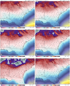
I’ll focus on Athens
7PM 1/26: 21
10PM 1/26: 14
1AM 1/27: 11
7AM 1/27: -8
The 7PM-1AM drop rate of 10F from 21 to 11 is very believable. But the 1AM-7AM 19F drop rate from 11 to near alltime records of -8 is absolutely not believable. The GFS is earning its Goofy nickname here and is on an island.

I’ll focus on Athens
7PM 1/26: 21
10PM 1/26: 14
1AM 1/27: 11
7AM 1/27: -8
The 7PM-1AM drop rate of 10F from 21 to 11 is very believable. But the 1AM-7AM 19F drop rate from 11 to near alltime records of -8 is absolutely not believable. The GFS is earning its Goofy nickname here and is on an island.
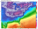
This is just stupid. I've seen the GFS try to do stuff, but this takes the cake. This aint wind chills either.
View attachment 187535
Actually this wouldn't be crazy. Gonna be a heck of a lot or snow pack over the Midwest shortly and I doubt it's going anywhere..
Unfortunately I think our bust here on this threat is another beach blizzard with the barocyclinic boundary sitting off the gulf coast...
Actually this wouldn't be crazy. Gonna be a heck of a lot or snow pack over the Midwest shortly and I doubt it's going anywhere..
Unfortunately I think our bust here on this threat is another beach blizzard with the barocyclinic boundary sitting off the gulf coast...
I will play those odds again as crazy as it sounds.
Without a doubt.I will play those odds again as crazy as it sounds.
Dude this got me laughing so hard ppl came into my office to share the joke with them!!!dream season in play View attachment 187350
And there’s support. I’ll never sleep again View attachment 187351View attachment 187352
We hear u bro!
Brent
Member
Actually this wouldn't be crazy. Gonna be a heck of a lot or snow pack over the Midwest shortly and I doubt it's going anywhere..
Unfortunately I think our bust here on this threat is another beach blizzard with the barocyclinic boundary sitting off the gulf coast...
Yeah I'm pretty sure our snow isn't going anywhere
The Euro barely even gets to 33 the rest of the month!
But yeah I'd be worried about missing to the south because of that
I will say this, Webber and several other on here really did not see this current threat being the Deep South threat 10 days or so ago. I am almost certain he said many of us would not mind sacrificing this one to lay down the snow and ice to the North in order for the next one to be the true threat. Unfortunately a lot of us got roped into this when the GFS and the other AI models were teasing us in the mid to long range. We all knew the pattern looked promising from now thru possibly mid February, so we just need to hold on and not lose hope. Those temps I posted above really are wild for an extended period. We can even afford some moderation of those at this point. I don't think any of us on here will be getting much sleep for the immediate future. I look forward to hearing from the smarter people on here after we get this nasty slop of a storm behind us. Hopefully moving forward it will either be snow or rain and not the other.
rburrel2
Member
broken025
Member
Looks awful familiar
Makeitsnow
Member
If we somehow actually pull the next off without freaking dc and chicago getting it instead, it will be the an all time winter for sure.
LukeBarrette
im north of 90% of people on here so yeah
Meteorology Student
Member
2024 Supporter
2017-2023 Supporter
LittleMountain
Member
I won't even be interested unless it's showing it the day beforehand.
I might not even be interested the day of. Power might still be out.I won't even be interested unless it's showing it the day beforehand.
Storm5
Member
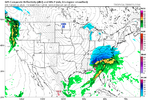
I don't hate Thursday/ Friday to try a coastal
Storm5
Member
lexxnchloe
Member
View attachment 187573
Cant wait for the northern branch to trend awfully and this is in Cleveland Ohio
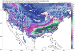
If blocking isn't strong enough or doesn't hang around, well, we know the drill.That’s split flow heaven along the west coast with cold TPV pressing down. Leave the southern wave alone and let it cook. It’s the “good” El Niño pattern
View attachment 187581
Makeitsnow
Member
For real...i'm not confident at all power would be even restored by then where i am.I might not even be interested the day of. Power might still be out.
lexxnchloe
Member
The good news is this is a real low pressure that will draw cold air into it, unlike this weekends slop. Its almost the same as last nights EURO. Sure, it can end up well NW but at least its a solid low.If blocking isn't strong enough or doesn't hang around, well, we know the drill.

