• Hello, please take a minute to check out our awesome content, contributed by the wonderful members of our community. We hope you'll add your own thoughts and opinions by making a free account!

Wintry January 23rd-27th 2026

Its really amazing how consistent the GEFS has been...right or wrong

View attachment 186973
The only thing with that is sometimes the gfs just goes down swinging alone in it's consistency and other times it corrects radically in the final few run stretches. Just would love for it to score and win solid this time.
 
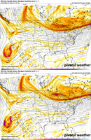
The Baja low is something we need to fix, but I think it's important to remember the other issue now.. And that's the Northern stream energy that has been trending towards digging West more. So it's almost like that is offsetting the slow release of the baja low. It's almost like the NS is waiting for the baja low so they can fire off in tandem & ruin all of our hopes & dreams in the Southeast.

That's why even though the GFS improves with the Baja low situation, it still amped to high hell.
When we're tracking northern stream energy only hoping for a storm we always say "dig you pig" and it does do just that at about this range and sucks us in. Then within 48 hrs it always loses some of that dig. At least thats what I've noticed. Based on that I think we've hit the ceiling with the north trend and will tick south a little. Probably not enough to get SC into anything as far as snow. But I'm not a smart man so take that for what it's worth 🤣🤣
 
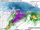
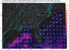
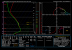
Someone with pivotal plus, please pull the sounding up for GSO (pti airport) hour 105 and the next frame. Thats when monsoon rolls through on Mitch frame above. Fingers crossed thats a sleet sounding. be incredible.

1769015314422.png
 
Someone with pivotal plus, please pull the sounding up for GSO (pti airport) hour 105 and the next frame. Thats when monsoon rolls through on Mitch frame above. Fingers crossed thats a sleet sounding. be incredible.

View attachment 186982
Flash flooding at 24 degrees is crazy. All timer weather event about to unfold. Look at that precip maxima in northern Alabama..
 
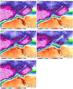
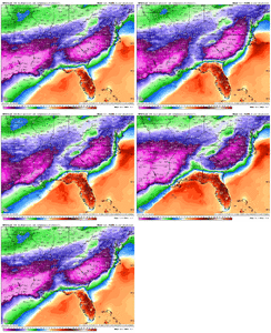
Less and less cold on GFS:

4PM Saturday 1/24:
View attachment 186984

4PM on Sunday 1/25
View attachment 186985
I just think its coming into reality. Some of those temps prior were not realistic. I would expect more corrections and less margins from NE to SW. Instead of 10 at the NC VA border its 24, and at the same time its 30-32 NE of Atlanta.
 
Also, this is obvi but heavy ZR rates like the UK shows is not efficient for accretion on power lines, trees, ect. so worst case scenario and NC is mainly ZR, that's a saving grace.

Won't stop the streets/sidewalk from becoming a skating rink though.

That majority of that most likely for central nc is probably sleet


Sent from my iPhone using Tapatalk
 
you know our big winter weather events tend to have severe wx in florida. not even kidding here
Been a long time since we've heard the good 'ol gulf storms robbing our moisture, we're due
 
To add to
View attachment 186976
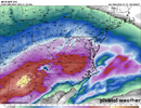
Been watching this back side. Maybe a chance for us westerners
I was just looking at these panels. Dr. Monger is here to inoculate winter weather lovers in anticipation of the upcoming Dr. No run.
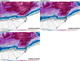
By Saturday evening, the GEFS has zero panels not showing ZR and/or sleet into the Georgia CAD regions.

And, we have a few members ending with snow in the deep south with the approach of the reinforcing Arctic airmass. All within the next 5-days!

Sleep will be at a premium for the foreseeable future.
1769015839193.png
1769015894437.png
 
Back
Top