-
Hello, please take a minute to check out our awesome content, contributed by the wonderful members of our community. We hope you'll add your own thoughts and opinions by making a free account!
You are using an out of date browser. It may not display this or other websites correctly.
You should upgrade or use an alternative browser.
You should upgrade or use an alternative browser.
Wintry January 23rd-27th 2026
- Thread starter SD
- Start date
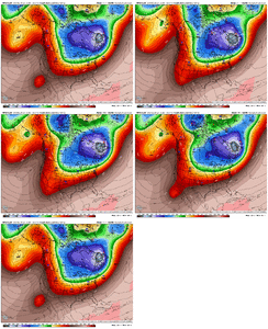
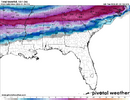
AIFS moving this way as well:It is a big jump but also a razor's edge situation, small differences -> major downstream effects.
View attachment 186333
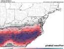
Hard to buy into that GFS solution. But the Euro trend:
View attachment 186338
Wouldn't be shocked if euro ticks that way again.
Showmeyourtds
Member
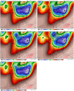
I would caution that higher ratio snow outside of the mountains in the Carolinas is very rare. Even January 1988, CLT had a ratio of 11:1 and that was with temps in the mid to upper teen basically the whole stormOne of the wildest realizations just hit me in that these ensemble means are 10:1. We will do better than 10:1 I think.
Sandbar
Member
Question: All this energy flying around and we just had an insane coronal mass injection from the sun hit Earth that looks to continue through this storm. Does that have any affect on this? Sorry if it is an irrelevant question just peaked my curiosity. What a storm......
And of course, the global warming capital of the world, Florida, gets their due.
View attachment 186339
That second wave needs to be watched. Huge change R2R.
Webberweather53
Meteorologist
AIFS moving this way as well:View attachment 186341
As @wow said a few days ago, these Baja lows usually are a pain to get moving in this type of pattern.
ColdCoreLow
Member
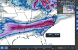
These images imply a life-threating situation all across the SE... BHM would be looking at 1" ice and 5" wet snow on top. Nearly 20" of snow in NW AL. Power outages for weeks!
Mo
Most meteorologists would say “no” to this, but I would say we don’t know what, if any, effect it’d have. Can’t rule out it having some kind of effect.Question: All this energy flying around and we just had an insane coronal mass injection from the sun hit Earth that looks to continue through this storm. Does that have any affect on this? Sorry if it is an irrelevant question just peaked my curiosity. What a storm......
There's a perfect amount of interaction to create a wild solution for much of NC, and I think you just saw what that amount is.As @wow said a few days ago, these Baja lows usually are a pain to get moving in this type of pattern.
Iceagewhereartthou
Member
NBAcentel
Member
we did reach S4 levels of protons yesterday, it does causes ground interference and issues with planes, not sure how that would effect data though. It does impact goes and ACE heavily though. Don’t think it would have much impact at the surface unless we had a major S5 level proton storm or if 100MeV protons were really highMo
Most meteorologists would say “no” to this, but I would say we don’t know what, if any, effect it’d have. Can’t rule out it having some kind of effect.
NWG_WX14
Member
One thing to remember is the main driver of this system is the interaction with the Baja low which is way sooner than the actual storm effecting us. I really think we could be zeroing in on a further southern solution
Webberweather53
Meteorologist
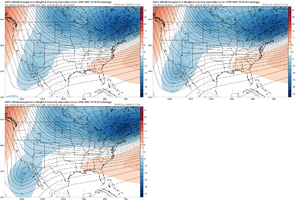
There’s a lot of diabatic heating that’s going to pump the ridge in front of the upper low and slow it down. That is what is making things colder for us initially and favoring a monster snow storm for the I-40 crew.
Not unusual for globals to underestimate that
Not unusual for globals to underestimate that
Xlhunter3
Member
SimeonNC
Member
What happens if there's too much separation from the baja low? Will the storm just not happen then or just be a lot weaker?
Weaker storm and less WAAWhat happens if there's too much separation from the baja low? Will the storm just not happen then or just be a lot weaker?
That green line moving south in Pennsylvania is what’s nice!It is a big jump but also a razor's edge situation, small differences -> major downstream effects.
View attachment 186333
Hard to buy into that GFS solution. But the Euro trend:
View attachment 186338
Wouldn't be shocked if euro ticks that way again.

I've seen ALOT of Fantasy land GFS runs in my years that put out some ridiculous storms.....But honestly not really many come to mind to do what this run just showed and we are like 3 days from the start of this event not over 2 weeks out! That's crazy and would be a all-timer both fantasticating and somewhat scary
Snowking2.0
Member
@Webberweather53 what are your thoughts for extreme north Alabama due you think this storm can trend to more of a snow event?There’s a lot of diabatic heating that’s going to pump the ridge in front of the upper low and slow it down. That is what is making things colder for us initially and favoring a monster snow storm for the I-40 crew.
Not unusual for globals to underestimate that
Stormsfury
Member
Worst case scenario it completely cuts off (Rex Block/Omega Block) would dramatically reduce QPF... but the timeframe we are now in, the shifts SHOULD be minute. We're dealing with a couple days now vs 7 to 10 days.What happens if there's too much separation from the baja low? Will the storm just not happen then or just be a lot weaker?
packfan98
Moderator
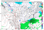
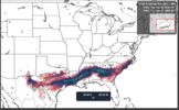
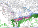
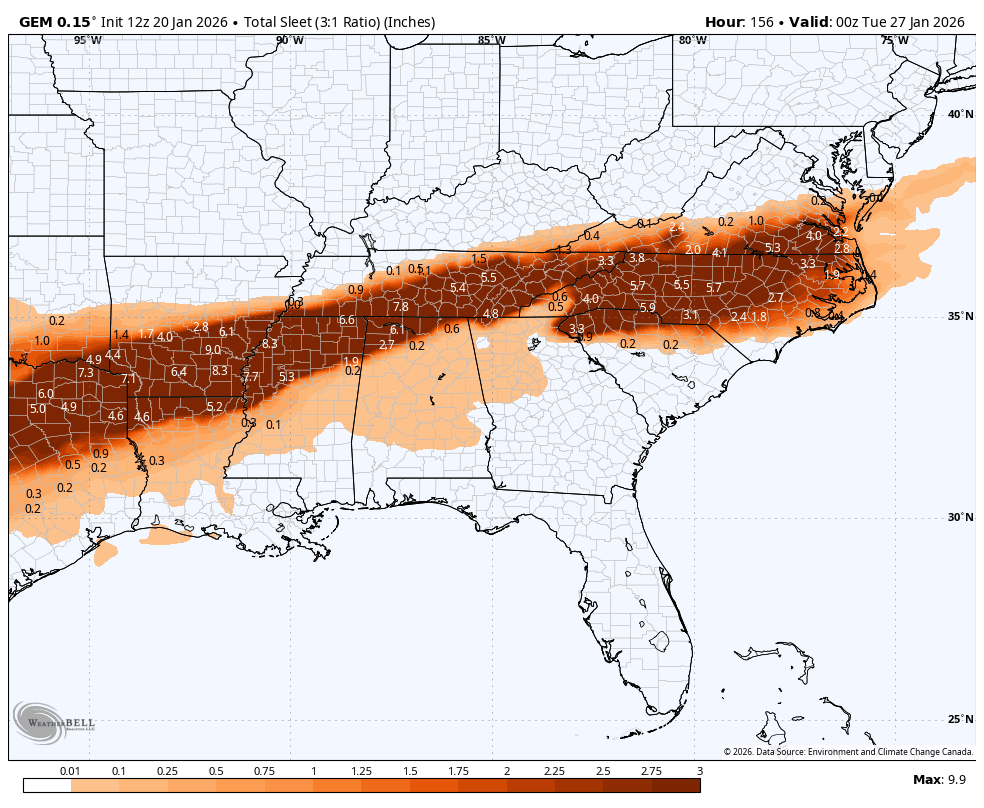
Final Tally from the Canadian. That's a lot of sleet!



Ridge pumping in the NW as well. No wonder the ULL is tucking farther SW.
very funny that the canadian gives out 18 inches to state college pa. sure why the hell not
GEFS going to come in drier it looks like. Another trend that wouldn't shock me, should it develop
Stormsfury
Member
It took the Canadian a forever amount of days to realize last year's Gulf Coast Blizzard was consistently depicted too far north until about 2 to 3 days out...it finally corrected only then.Final Tally from the Canadian. That's a lot of sleet!


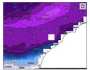
This is the model that KRDU mentioned they were leaning towards in their discussion for their forecast this morning. These totals would be reasonable for a major winter storm in most cases but what we are potentially dealing with is totally in its own universe.
CMC wasn’t south but it was slower. Interesting the major models are so far off right now.
That is what Baja low magic will do..
Still many different solutions on the table
That is what Baja low magic will do..
Still many different solutions on the table
LukeBarrette
im north of 90% of people on here so yeah
Meteorology Student
Member
2024 Supporter
2017-2023 Supporter
ukmet held back baja low a smidge but practically the same snow swath as 00z
tough to evaluate bc pivotal is running slower than a washed cornerback
tough to evaluate bc pivotal is running slower than a washed cornerback
WolfpackHomer91
Member
What happens if there's too much separation from the baja low? Will the storm just not happen then or just be a lot weaker?
It loses its historic potential. Cool it’s more south but it also significantly lowers the ceiling imo. Go for the phase and the 2-3” QPF
Sent from my iPhone using Tapatalk
wow
Member
Canadian trending south again.. it's getting there.
Brent
Member
This model is heavily used by the NWS yeah
Webberweather53
Meteorologist
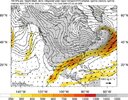
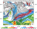
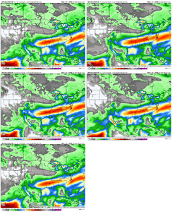
You can clearly see the influence of this atmospheric river here with convective heating in it pumping the mid to upper ridge ahead of the Baja low, which slows it down. Global models have a bad habit of underestimating this latent heat release >> mass response process or potential vorticity redistribution.
That ultimately favors things to go more south downstream.


That ultimately favors things to go more south downstream.
