Webberweather53
Meteorologist
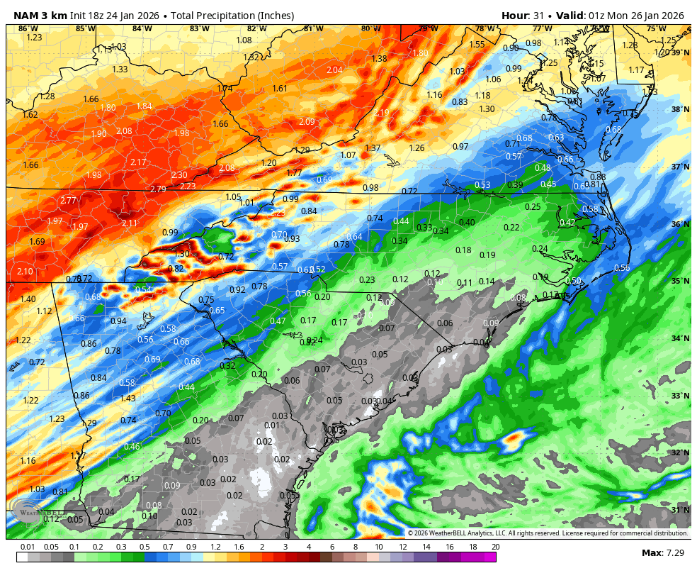
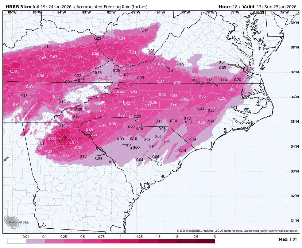
The thing that still concerns me the most with this ice storm in the Carolinas is the squall line of heavy freezing rain showers and elevated supercells that comes at the tail end of this storm late Sunday evening into Sunday night.
Gusty winds from these could lead to widespread downed trees and power lines in areas that have significant ice accumulation left on the trees and power lines. This is more likely to be the case over the Piedmont in places like Raleigh & Charlotte down to Greenville-Spartanburg and even near the Triad. If your power goes out during this ice storm, the arrival of these gusty showers and embedded supercells is most likely when it will happen
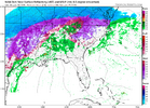
Basically every high resolution CAM shows this scenario playing out, including the RRFS, NAM, HRRR, FV3, and ARW
View attachment 188586
View attachment 188589
View attachment 188590
View attachment 188592
View attachment 188593
Hopefully, we keep the surface entirely decoupled from the super nasty flow aloft, because even a 20 ish mph gust could be bad if you have enough ice on trees and power lines