rburrel2
Member
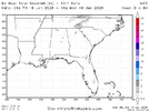
View attachment 184106
Are we back?
We sit pretty well where we're both at right now. I hate how it works around here where we always have to pray we're out of precip then after that pray closer to the system for NW ticks. NW ticks here can add up to a large amount in some cases. There are some examples similar to this system, 2017, 2014, etc. today will be the big day and if we keep NW trends today with more sampling it should continue onThis is pretty good looking right here. I think there will be some surprises today and tomorrow. Clear NW shift on all the models at 06z. Hopefully that can continue at 12z and onward. Still not giving up!
My point for areas east of the mountains is that right now there is strong agreement on modeling that temperatures aloft are supportive of snow provided there is enough moisture to get the rates for dynamic cooling.Overrunning events tend to get temps stuck in the mountains. Especially when you have an initial shortwave out of the mountains. You would think it would be more favorable for Alabama Georgia Mississippi given that. NW trends overall somewhat indicate that. Just gotta see how much they continue and how far NW.
This is true. However, with both, you typically rise temps.One thing to also note....there is a difference in the precipitation shield, expanding Northwest and a Northwest trend in the actual low pressure track.
We need the rainA lot more precip and a tick nw with the 6z AI EPS.
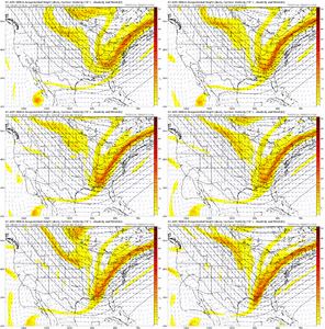
View attachment 184118
Been keeping an eye on this as well, waiting for 12z here to see if it continues. Verga precip is how these NW trends start.Big difference in satellite forecast on hrr and nam 3k at 6z sunday, Sat night . Also the precip is much heavier and more NW at the same time.
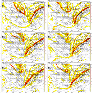
View attachment 184121
View attachment 184120
Man it would feel good to not get scammed by storms again. Up here in Northeast Georgia we got screwed by both storms last year. Dryslotted badly the 1st one and the snow line in the 2nd one was about 5 miles due south.I like these northwest trends for you folks in Georgia, Alabama and the western half of NC/SC. I hope you do well with this storm. It looks like this isn't the storm for us in Raleigh and points east in North Carolina. Unless rates are really heavy, the temperatures will be too warm outside of a few token flakes to end the storm possibly where I live in Wake County it appears. The NAM is the only model showing anything resembling a snow event for the RDU area. I'll say it has been stubborn.
A possibility, yes. Over runners are extremely hard to forecast but generally it's safe to kinda try going with the NW tick as they try to go as deep into the CAA as they can.If this is like 2017, we may not see model corrections on qpf until precip starts breaking out along the gulf coast Saturday evening.
Say what you will but the HRRR was the first model to sniff out the big FGEN snow back in Jan 2022 that held on much longer than modeled around here.Big difference in satellite forecast on hrr and nam 3k at 6z sunday, Sat night . Also the precip is much heavier and more NW at the same time. However remember it is the 48 hr pn HRR .
View attachment 184121
View attachment 184120
I have a feeling they believe this storm may trend a little more NWNWS showing a stripe of ZRView attachment 184124
Idk how those maps are generated any more but at least it’s not showing the predom weather as totally dry or totally rain across the SEI have a feeling they believe this storm may trend a little more NW
If everything was showing snow and the NAM was showing rain, it would be right. It has a history of doing just fine with thermals and always sniffs out that warm nose. Odd to see it opposite this time, actually gives me a glimmer of hopeI like these northwest trends for you folks in Georgia, Alabama and the western half of NC/SC. I hope you do well with this storm. It looks like this isn't the storm for us in Raleigh and points east in North Carolina. Unless rates are really heavy, the temperatures will be too warm outside of a few token flakes to end the storm possibly where I live in Wake County it appears. The NAM is the only model showing anything resembling a snow event for the RDU area. I'll say it has been stubborn.

If you want more snow, I assume we need to hope this thing slows down to allow the CAA from the mountains to get more involved?
Cold air wise, there’s not much we can do here.
Yes. This holds true for GA and SC as well. Just a little, I might add.If you want more snow, I assume we need to hope this thing slows down to allow the CAA from the mountains to get more involved?
the AIFS has been Dr. No the whole time though, and still does not show (never has shown) a snow accum map anywhere near the latest wxnext:Long duration trend on the weathernext snow clown map, ending at 6z today after 0z was the best run yet:
View attachment 184134


