FFC:
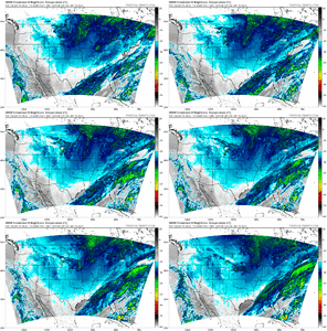
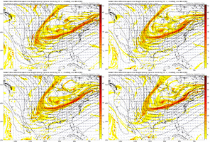
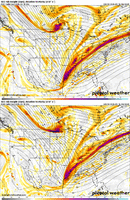
To start the extended periods the models are showing the first
frontal boundary laying across east central and south GA with a
second reinforcing frontal boundary moving into NW GA. The forecast
models are beginning to come into better agreement with how they
expect things to play out Sat night/Sun with this possible winter
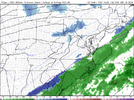
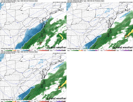
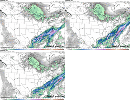
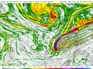
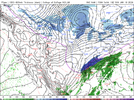
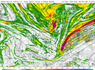
system. The models are showing a wave developing along the tail end
of the first frontal boundary over the central Gulf Sat evening. This
wave moves rapidly NE along the boundary bringing precipitation
mainly to central and south GA. We will have some cool air in place
as this wave moves through but with it moving in from a much
further southern location than we were seeing yesterday looks like
we will mainly see a Rain/Snow mix across Central GA turning to all
snow just as its exiting the area from NW to SE. The second front
comes in and helps to push the first front out of the area exiting
the GA coast by 18z Sun to 00z Mon.
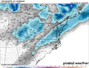
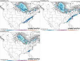
As far as impacts go...right now we are looking at light
accumulations if any at all. The best location for accumulations
look to be areas along and south of a Columbus to Forsyth to
Greensboro line. These locations should see 0.25" or less through
Sun afternoon. Temperatures are also expected to get up into the
40s across this same area Sun so any accumulation will not last to
long.