• Hello, please take a minute to check out our awesome content, contributed by the wonderful members of our community. We hope you'll add your own thoughts and opinions by making a free account!

Jan. 17-18, 2026 SE Winter Weather Threat

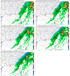
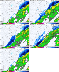
Feel like we are going to sure waste it over here from Birmingham south and what a bummer. We will pray for some magically neutral to negative tilt or a very poor forecasted precip shield. That SREF was a nice footprint but we need NW trends from now until verification. Sure hope some of our southern counties can score if we can’t.

You know if we were sitting in the bullseye right now, everyone would be worried about this thing tilting early and giving us a 40 degree rain, and that's EXACTLY what would happen....but we can't buy that trend here lately.
 
You know if we were sitting in the bullseye right now, everyone would be worried about this thing tilting early and giving us a 40 degree rain, and that's EXACTLY what would happen....but we can't buy that trend here lately.
Unfortunately for everyone sitting in the bullseye a lot of them are getting too overexcited. Been there done that. But NW tick it probably going to happen I just don't know how much.
 
Still think we'll end as some snow here in the coastal counties. Anywhere from a line drawn due west of Myrtle Beach maybe not though. The cold air is going to be coming almost from the north chasing the moisture.
 
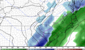
beaadf604e7950b9f76cdef29d3921a4.jpg


Sent from my iPhone using Tapatalk
 
Aiken is actually exactly where I’m going. Am concerned about temps, but we will see

Aiken/AGS are notorious for missing snow north (due to temps), and south due to precip... haven't had a happy medium since 2010. Don't like that this is another nightmare for us... but pretty reflective of what we go every time there is a nearby threat. Time will tell. Can't say I get disappointed anymore... happens too often. Still fun to track
 
Still think we'll end as some snow here in the coastal counties. Anywhere from a line drawn due west of Myrtle Beach maybe not though. The cold air is going to be coming almost from the north chasing the moisture.
Really the problem for you down there isn't only that. Models often tend to underdo QPF on overrunners so you kinda get in that situation as well.
 
beaadf604e7950b9f76cdef29d3921a4.jpg


Sent from my iPhone using Tapatalk

What a tease here, lol. If you told a lot of us we’d have a look like this with 48-72 hours out then we’d take it 9 out of 10 times. Here’s hoping they found the goods in the plane yesterday 😂
 
Wasn’t it further west the last run? Seems like it’s correcting to other modeling. I expect 0z to be further southeast


Sent from my iPhone using Tapatalk

Nah, this run works in NC just based on what I just saw. Good bump in totals from flakes to a dusting to 1-3".

The ICON definitely went backwards though.
 
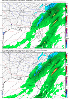
RGEM sucked me back in...that's legit trend inside 48 hours

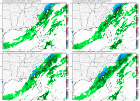
View attachment 184305
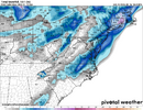
RGEM, NAM. SREF sucking me back in too. For eastern parts it's dependent on a longer duration event and column crashing, coastal development seems to be helping with that. Not sold yet but hopeful
 
If only the RGEM wasn’t usually too cold.
Agreed but the NAM is still surprising to me, if it was just the RGEM yeah but the NAM is always a "no" on thermals but not this time. Anyway just don't rain on my glimmer of hope parade too much, please and thanks
 
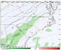
Low level dry air is clearly a problem on the rgem for the upstate, it has snow reaching the ground in the NC mountains, but nothing here bc the low level dry air is eating it all up. Hope that’s overdone and/or precip is heavier along that northern edge and can beat the dry air.

Upon further review… it’s downsloping winds off the mountains that’s hurting us. Sigh.
 
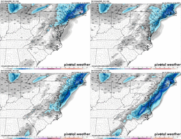
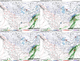
The 18z NAM and RGEM are pretty lockstep with that theoretical maximum in eastern Piedmont. Encouraging, especially considering the Canadian modeling has been a dumpster fire for us over the last day or two. I’m sure there are temperature issues that render the clown map moot, but I’ll enjoy the look.
 
The short-range Canadian rgm looks very similar to the weathercast, and the 12 Z Euro snow output in northern and Northeastern North Carolina. These all seem to be hinging on coastal development whereas the Nam and GFS are relying on banding with a primary low IMO
 
this happens with basically every storm. 12 seed that's down by 12 with two minutes lefts gets scrappy and cuts the deficit to 5. my heuristic going forward is to use ai tools to formally gauge the "ceiling" of the storm's potential and then allow for about 10-20% improvement once consensus exist between all models like we got by about the 12z cycle today.
 
Back
Top