• Hello, please take a minute to check out our awesome content, contributed by the wonderful members of our community. We hope you'll add your own thoughts and opinions by making a free account!

Jan. 17-18, 2026 SE Winter Weather Threat

I’d like my chances with this if I was NE of Atlanta in NE GA so up thru the mountains & foothills of the Apps in NC and possibly even SW VA

Lots to like about where these folks are sitting right now.

When it comes to overrunning style winter storms, I’d much rather be worried about precip occurring than getting the cold air in time, because the precip almost always verifies much higher than forecast.
Extreme NE TN?
 
That shot on Sat could put some pellets or flurries into N. Ga. I like these patterns, makes winter fun, even if we die on the cliff most of the time. I've seen this kind of scenario happen a number of times since I've been down here and some are really good if you are in the sweet spot and get some good training. A hundred mile band thru central Ga, or lower.
A bad ice storm down the line, if that can be believed. These shots we get are fleeting, and it makes it so satisfying to land on of these suckers. Just not the zr storm. Sleet is so much better!
 
What I'd like to know is what would be the explanation of this outcome instead of something like what happened last year happening. What're the indicators that it would and examples that it could? I'm starting to lean everywhere north of 85 gets shafted again with this storm entirely based on a too positive tilt in and not enough ridge to push this system more neutral fast enough

Mentioned this earlier in here but it’s positive feedbacks between WAA and wave tilt which can runaway in a setup like this when you don’t have much in the background to suppress it. This setup looks more like Feb 2020 & Dec 2017 than last year
 
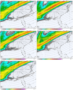
You should already be concerned about temps in NC....its going to be extremely hard in the lower levels for you guys, especially with the trend of this consolidating more and introducing more WAA/moisture.
We just need the moisture along the escarpment. Temps aloft will cool if the precip is there.
 
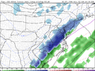
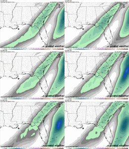
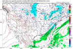
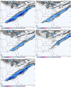
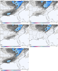
Honestly kind of glad to see the GFS come more in line with some of the AI models. Would like to see the Euro come a little closer to the pack coming up here and maybe we can actually have somewhere to work from versus everything just bouncing all over the place.
 
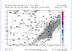
b3e6adb53ec0cdf8868624eb33e35376.png


Sent from my iPhone using Tapatalk
 
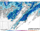
1768514338597.png
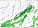
For the Carolinas, I do like to see this earlier finger of overrunning coming in during the early morning hours prior to diurnal heating. Earlier onset is typical of overrunning, and should hopefully help keep the column colder as the storm progresses.
 
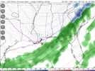
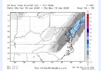
The foothills/WNC are the place where it’s cold enough but all the models show no moisture making it here now
Let's wait till Saturday morning to jump cliff. To many variables need to be figured out for the foothill crew. Hi res will let the way starting soon.
 
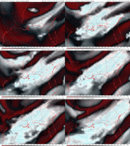
One thing about the timeframe we're at. Globals are not great at this range. I'd be personally watching shorter range guidance and ensembles more now rather than operational on global models.
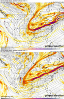
True. But to say that the 18Z wasn't concerning is an understatement. Seeing the base of the longwave trough not extending as far SW into New Mexico stinks. To we 00Z we go.
 
If I were a betting man, and I am, I’d wager 00z GFS will be a tick worse. That’s when you wanna buy the dip. Tomorrow will be the comeback story. But will it be enough? Stay tuned
GFS won't be as relevant tomorrow as we'll be inside 48hrs. By then pay more attention to the hi res stuff.
 
Back
Top