-
Hello, please take a minute to check out our awesome content, contributed by the wonderful members of our community. We hope you'll add your own thoughts and opinions by making a free account!
You are using an out of date browser. It may not display this or other websites correctly.
You should upgrade or use an alternative browser.
You should upgrade or use an alternative browser.
Pattern Jammin January 2024
- Thread starter SD
- Start date
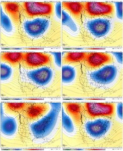
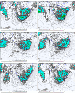
Really have to hope (for the 1st threat) that energy can dive SSE thru CA and into northern Baja area and then heads east. You don’t want it to get hooked by the northern branch. Also we really need more energy to move on shore in the west to track across while the blocks there. D8-14
olhausen
Member
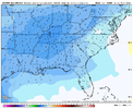
She’s a beaut Clark!This is just the 48 hours around the period in question View attachment 140601
EPS mean looks nothing like the op ?
UNCSC
Member
Have we had any storms in our past make a southeastern trend? Seems like every storm pulls northwest the closer wet get to storm the past few yearsReally have to hope (for the 1st threat) that energy can dive SSE thru CA and into northern Baja area and then heads east. You don’t want it to get hooked by the northern branch. Also we really need more energy to move on shore in the west to track across while the blocks there. D8-14
John1122
Member
SE has been a trend so far all fall and winter. It's why places like West and Middle Tn have been in a drought and the midwest hasn't had snow cover.Have we had any storms in our past make a southeastern trend? Seems like every storm pulls northwest the closer wet get to storm the past few years
Cary_Snow95
Member
Is it safe to assume the boundary level is on fire
EPS has way more stream connection on members which we don’t want
accu35
Member
- Joined
- Jan 5, 2017
- Messages
- 8,415
- Reaction score
- 9,890
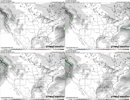
I didn’t see this time frame map on pivotal @12z Euro.Yeesh lolView attachment 140599
LukeBarrette
im north of 90% of people on here so yeah
Meteorology Student
Member
2024 Supporter
2017-2023 Supporter
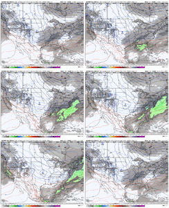
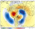
Essentially would want energy to slip underneath the western Ridge?If we get something big it’s that pac trough pacific shortwave handoff and dipping of the northern stream. That look has been associated with some huge setups in the past View attachment 140621View attachment 140622
Yessss. DefinitelyEssentially would want energy to slip underneath the western Ridge?
hey @Webberweather53 isn't that period jan 19-21 the slot you're keying in onIf we get something big it’s that pac trough pacific shortwave handoff and dipping of the northern stream. That look has been associated with some huge setups in the past View attachment 140621View attachment 140622
MichaelJ
Member
This doesn't look to me like a NC/SC/Ga storm except ,maybe a little ice, Ms,Tn/Al look to do okay with Tn being the big winner. That has been the normal for several years. Still time for the deprived areas but it will take a lot of changes to score east of the Smokies
Cary_Snow95
Member
I’d expect a bit of a step down pattern but I agree that first one is likely not our stormThis doesn't look to me like a NC/SC/Ga storm except ,maybe a little ice, Ms,Tn/Al look to do okay with Tn being the big winner. That has been the normal for several years. Still time for the deprived areas but it will take a lot of changes to score east of the Smokies

