Ron Burgundy
Member
*Edit - Didn’t see the thread for this system. Please move - thanks!*
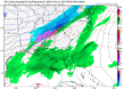
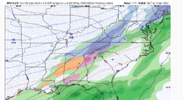
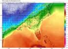
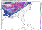
FFC already chirping about severe with the Friday system. Sheesh, what a start to 2024…
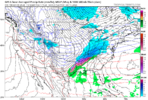
A potent negatively tilted shortwave will dig in from
the central Plains Friday with a surface low developing near the
ArkLaTex. This system appears to have a more favorable thermodynamic
profile with warm surface and dewpoint temperatures and MUCAPE
between 600-800 J/kg. The kinematics of the system also look
favorable for strong to severe storms with bulk shear up to 70+kt
and 0-3km SRH over 700+m2/s2. It`s a little too soon to be diving
into the exact details, but it does appear there is a strong signal
that this system will bring another round of severe weather to the
forecast area Friday afternoon.
Last edited:

