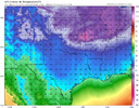
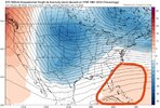
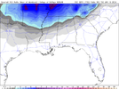
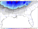
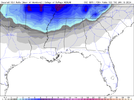
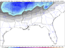
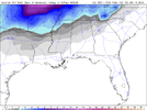
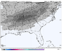
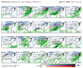
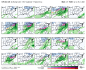
If we could beat back that Atlantic ridging a bit it certainly wouldn’t hurt. Always a thorn
-
Hello, please take a minute to check out our awesome content, contributed by the wonderful members of our community. We hope you'll add your own thoughts and opinions by making a free account!
You are using an out of date browser. It may not display this or other websites correctly.
You should upgrade or use an alternative browser.
You should upgrade or use an alternative browser.
Pattern Jammin January 2024
- Thread starter SD
- Start date
Brent
Member
GEFS should have some good members in it. I expect an uptick in it. We should know in a few.
griteater
Member
Move the SE Canada low a little southeast and you'd have it. That would keep our storm suppressed and sliding ENE across the south

I’m all for more stream separation. Lag it behind some
These are the pretty maps that tuck @Rain Cold in at night. Cold tap nearby is always #1 on the checklist 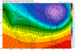

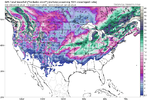
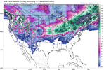
We need you to anchor our banana hammock high later this month. Hold the lineI’m trying to get y’all the snowpack!! CMC and GFSView attachment 140493View attachment 140494
I would also say the bigger driver there is the ridge is too close to the west coast. If it’s back off the coast a little that would help as well.Move the SE Canada low a little southeast and you'd have it. That would keep our storm suppressed and sliding ENE across the south

JLL1973
Member
Much better mean. Areas north of I40 are going to get hammered
Webberweather53
Meteorologist
Pretty darn good signal on the GEFS, esp for TN, AR, and parts of AL & MS
griteater
Member
At this point, I think the Jan 15-16 timeframe favors that area you mention here, and the Jan 18-20 timeframe would have potential in that area again, but also east of the Apps after our cold source TPV pinwheels east and positions itself up under the block in the James Bay / Great Lakes / Northeast area. Looks good here on the GEFS.Pretty darn good signal on the GEFS, esp for TN, AR, and parts of AL & MS

SnowwxAtl
Member
Grit, just catching up over pages of post ,but this is mid south special right now as it looks and not quite a I 20- I 40 Special correct?At this point, I think the Jan 15-16 timeframe favors that area you mention here, and the Jan 18-20 timeframe would have potential in that area again, but also east of the Apps after our cold source TPV pinwheels east and positions itself up under the block in the James Bay / Great Lakes / Northeast area. Looks good here on the GEFS.

griteater
Member
This is 'dangerous' long range type stuff of course, but yeah, high chance that we have a big cutter Jan 12-13. If it's going to be wintry with the next storm after that in the Jan 15-16 timeframe, I'd say if favors the S AR to E TN area (along that line, and a bit south and north of that line). Jan 18-20 is the timeframe that I think offers the most potential for areas deeper into the southeast.Grit, just catching up over pages of post ,but this is mid south special right now as it looks and not quite a I 20- I 40 Special correct?

