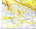
GFS snow/ice maps for the 2nd system. The ice includes both systems.


Can you post the sleet map if you don't mind?GFS snow/ice maps for the 2nd system. The ice includes both systems.

I don't have Weatherbell.Can you post the sleet map if you don't mind?
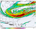
Yes I noticed that too on the Euro. I am no expert, but it has that “bomb” potential on it just based on H5. I would agree it needs to dig a little more or go more negative tilt, similar to the storm next week.Ok weather fam, talk to me about this one. What do we need to do to make this work for us East of the Apps? This seems to be our last chance before we warm up some. We need to dig this further West & South right? Seems like the cold air is there. It digs so aggressively North to South as it seems we are in the process of losing our digging mechanism as the pattern is transitioning. Appreciate the knowledge on here!
View attachment 141947
View attachment 142005
I’d happily let yall score on a late bloomer if I can get this on friday

I mean we sorta do have a good Atlantic. I could see some tweaks with this and things turning really interesting...GFS is far more amped with with system, but we rain and eastern Tennessee/the mountains win. Just not a great look with the orientation of the energy. Would be a different story if we had lower heights in the Atlantic or a true 50/50 low
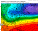
View attachment 142005
I’d happily let yall score on a late bloomer if I can get this on friday
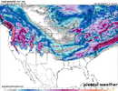
Yeah that looks really nice from Staunton NE.
Pretty insane for the NE
I guess we kind of do have one, but it seemingly moves out quick, so WAA is a big issue.I mean we sorta do have a good Atlantic. I could see some tweaks with this and things turning really interesting...
View attachment 142007
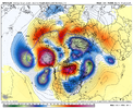
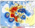
That high pressure in SE Canada is up to 1033, I noticed it was 1031 and further north on 6Z. At least there is better high placement compared to the earlier event, and maybe it can trend stronger and further south.I mean we sorta do have a good Atlantic. I could see some tweaks with this and things turning really interesting...
View attachment 142007
