Brent
Member
Might be an interesting one... Debby is next
they still have it too far east
Ithey still have it too far east
I agree. It will be interesting to see if the lower pressures shift towards that area of convection that’s starting to blow up right now.That narrows it down lol.
Think @SD was correct earlier when he said it depends on what part of the axis finally develops. Until that becomes clear it's throwing darts
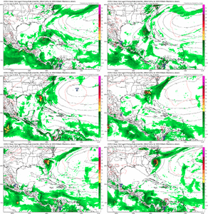
12z Icon makes more sense.....I think the GFS is being the goofy GFS here by parking it just perfectly between ridges. Logic here says exit stage right and no loop back into the GOM.
View attachment 149086

Depends on how it would react to the high. That’s if it forms as depicted. Broad area on that wave and it sucks that it will literally come down to 24-36 hours.I think the GFS is being the goofy GFS here by parking it just perfectly between ridges. Logic here says exit stage right and no loop back into the GOM.
View attachment 149086
I agree though I will say that it does appear that there was some consensus in the 12z GFS/ICON/CMC of bringing a storm into the eastern Gulf. Let’s see what the EURO says in a bitWithout beating a dead horse, the individual models mean nothing until a llc forms!
You are absolutely correct on the eastern gulf solution right now. Seems more probable than not but where it goes from there is anyone’s guess. I just want to make sure all know I’m not trying to wishcast this storm but I guess being a little more patient before agreeing with a deterministic model!I agree though I will say that it does appear that there was some consensus in the 12z GFS/ICON/CMC of bringing a storm into the eastern Gulf. Let’s see what the EURO says in a bit
1. Southwestern Atlantic and Eastern Gulf of Mexico (AL97):
A well-defined tropical wave is producing a large area of
disorganized showers and thunderstorms over Hispaniola, Puerto Rico,
the Southeastern Bahamas, and the adjacent waters of the
southwestern Atlantic and northeastern Caribbean Sea. Development of
this system should be slow to occur during the next day or so while
it moves west-northwestward over portions of the Greater Antilles.
However, environmental conditions are forecast to be more conducive
for development after the wave passes the Greater Antilles, and a
tropical depression is likely to form this weekend or early next
week over the eastern Gulf of Mexico near the Florida Peninsula.
Interests across the Greater Antilles, the Bahamas, and Florida
should continue to monitor the progress of this system.
* Formation chance through 48 hours...low...30 percent.
* Formation chance through 7 days...high...70 percent.
