-
Hello, please take a minute to check out our awesome content, contributed by the wonderful members of our community. We hope you'll add your own thoughts and opinions by making a free account!
You are using an out of date browser. It may not display this or other websites correctly.
You should upgrade or use an alternative browser.
You should upgrade or use an alternative browser.
Tropical Global Model Runs Discussion 2018
- Thread starter Snowfan
- Start date
Webberweather53
Meteorologist
Of arguably more concern, with the ITCZ generally progressing equatorward in the summer hemisphere, the rainy season will make a triumphant return in Central America, and thus there's going to be a major uptick in large-scale upward motion over the Western Hemisphere as we turn the page into October. The JMA, GEFS, & EPS all agree on this transpiring, and it'll likely piggy-back onto one of the pre-existing Convectively Coupled Kelvin Waves (CCKWs) that's currently in the eastern hemisphere. The chance of a tropical cyclone forming in either the Northeastern Pacific, Caribbean Sea, and/or south-central Gulf of Mexico during the first half of October will be much higher than climatology given how convectively active Central America is forecast to become. This will be something to watch in the coming weeks.
JMA
View attachment 6464
GFS Ensemble
View attachment 6465
EPS
View attachment 6466
I mentioned the possibility of TCG in the W Caribbean a few weeks ago given large-scale forcing in place, I really don't have much to add to what was noted a few weeks ago until a consolidated area of low pressure begins to develop. TCG off the monsoon gyre is very difficult to forecast even in the medium range because there's usually a significant element of convective feedback and interference with the monsoon gyre's own circulation, and other areas of low pressure within the gyre competing for moisture fluxes, upward motion, etc., and topographically forced convection/vorticity that all may easily mask or reinforce a pre-existing infantile circulation.
Henry2326
Member
Yep, this scenario has shown up several times in the past 3 days. The other option that has shown up several times has been the Apalachicola area, crossing into GA (Navgem 00z). The 06z for FV3 is the first time its pushed that far west and strong.
From Wx Underground
Henry2326
Member
Navgem 00z

Henry2326
Member
FV3 06z

Models aren't going to be anywhere close right now in this situation until something actually develops.... this isn't a wave we're tracking it's waiting for development, where, when, etc have massive implications for later. With that said, this is the Global model run discussion so I'll add that the EPS seems to like the S. Fl to GOM idea atm
pcbjr
Member
Thank you; it needed saying, soberly ...Models aren't going to be anywhere close right now in this situation until something actually develops.... this isn't a wave we're tracking it's waiting for development, where, when, etc have massive implications for later. With that said, this is the Global model run discussion so I'll add that the EPS seems to like the S. Fl to GOM idea atm
")
Well apparently it is Sober for October month...Thank you; it needed saying, soberly ...
pcbjr
Member
... and just to add topsy to turvy , JB says ...Well apparently it is Sober for October month...
ForsythSnow
Moderator
... and just to add topsy to turvy , JB says ...
And again with the paint maps he goes.
Also, as mentioned, the EPS is mainly in the Gulf. A few nasty members too.

pcbjr
Member
as I said ...And again with the paint maps he goes.
Henry2326
Member
Any of the models had better success in the past of forecasting this area?I mentioned the possibility of TCG in the W Caribbean a few weeks ago given large-scale forcing in place, I really don't have much to add to what was noted a few weeks ago until a consolidated area of low pressure begins to develop. TCG off the monsoon gyre is very difficult to forecast even in the medium range because there's usually a significant element of convective feedback and interference with the monsoon gyre's own circulation, and other areas of low pressure within the gyre competing for moisture fluxes, upward motion, etc., and topographically forced convection/vorticity that all may easily mask or reinforce a pre-existing infantile circulation.
Henry2326
Member
... and just to add topsy to turvy , JB says ...
He must not live in the zone....I do. Not a "game" to me.
Henry2326
Member
Thank you!! I'm learning every day!!I mentioned the possibility of TCG in the W Caribbean a few weeks ago given large-scale forcing in place, I really don't have much to add to what was noted a few weeks ago until a consolidated area of low pressure begins to develop. TCG off the monsoon gyre is very difficult to forecast even in the medium range because there's usually a significant element of convective feedback and interference with the monsoon gyre's own circulation, and other areas of low pressure within the gyre competing for moisture fluxes, upward motion, etc., and topographically forced convection/vorticity that all may easily mask or reinforce a pre-existing infantile circulation.
pcbjr
Member
You and I both ...He must not live in the zone....I do. Not a "game" to me.
pcbjr
Member
Since yesterday evening through this morning ... animated (though I had to make it "smaller" to post, so you may have to option or control/click to make it run ??? ... control/click on a Mac) ....

If it won't animate for someone, here's the link, but the link is not static so the image will change on the link down the road ... http://images.intellicast.com/WxImages/SatelliteLoop/hiatlsat_None_anim.gif
If it won't animate for someone, here's the link, but the link is not static so the image will change on the link down the road ... http://images.intellicast.com/WxImages/SatelliteLoop/hiatlsat_None_anim.gif
Last edited:
And again with the paint maps he goes.
Also, as mentioned, the EPS is mainly in the Gulf. A few nasty members too.
Personally, I would go with a more western track. Until the thing dies, you have to go with the ridge staying strong in the long range which would mean a WNW to NW track across the Central/eastern GOM.
BHS1975
Member
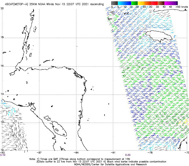
By looking at the latest visible loop there might be a depression soon.
Sent from my iPhone using Tapatalk
Sent from my iPhone using Tapatalk
snowlover91
Member
By looking at the latest visible loop there might be a depression soon.
Sent from my iPhone using Tapatalk
Right now there is no evidence of a surface circulation anywhere so I don't think we see any upgrades. There appears to be a spin in the mid levels but right now it hasn't worked down to the surface.
... and just to add topsy to turvy , JB says ...
He did well with the Florence track