From RAH:
Wed-Fri: The surface high to our N is expected to track offshore
early Wed, however any
WAA on the back side of the departing high
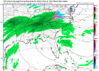
could be hampered by another weak low that models suggest may form
along the surface
front near the Carolina coast.
Circulation around
this low could keep cooler air pooling in central
NC longer Wed,
leading to cooler temps
esp N. With this old frontal zone still
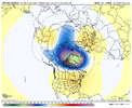
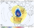
sitting just to our S, eyes then turn to an Arctic cold
front
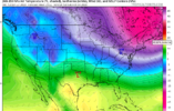
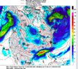
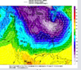
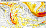
approaching from the NW Wed night with a frigid polar stream surface
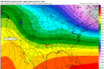
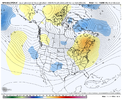
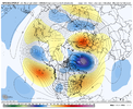
high behind it, driven by mid level troughing from central and E
Canada down to TX. Again, predictability is very low at this range
with
flow this strong and dynamic, but the pattern overall favors
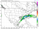
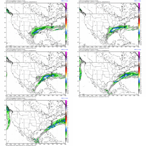
wetter conditions with periodic rounds of precip, focused on, but
not limited to, Wed night through Thu night.
As the Arctic surface
high moves across the Great Lakes and deposits cold air E of the
Appalachians, it`s not out of the question that we could tap into
sufficiently cold air to combine with the in situ moisture and shots
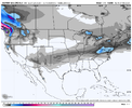
of forcing for ascent to generate a little wintry precip on the NW
side of the precip shield, primarily over N sections as the precip
exits. Will include a chance of rain areawide and add in a slight
chance of snow mixing in across the N Thu night into early Fri.
This
situation is certain to evolve with new model runs and new data
getting into the models with time, so stay tuned. Temps should trend
down below
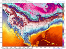
normal, with highs in the upper 40s to upper 50s Wed but
mostly in the 40s Thu/Fri. -GIH

