-
Hello, please take a minute to check out our awesome content, contributed by the wonderful members of our community. We hope you'll add your own thoughts and opinions by making a free account!
You are using an out of date browser. It may not display this or other websites correctly.
You should upgrade or use an alternative browser.
You should upgrade or use an alternative browser.
Pattern Fab-February 2020 The dark age
- Thread starter Ilovesnow28
- Start date

Haven’t seen in mentioned anywhere but decent wind snow setup Thursday morning East of the mtns (mount airy, Wilkesboro and hickory). Strong winds should be able to carry flurries over after 2am.
Very dense fog has rolled in. Less than a mile visibility. Doesn't happen too often here, so its pretty cool to see
Advisories are out for 5” or more of snow. Higher drifts poss.
Wicked fog here this morning
Surprised no one from Florida is talking about the cold air coming. Looks chilly down there this Saturday last day of Feb.
Rain changing to heavy snow on top of beech. Should get plastered with 4 to 8 inches here. see how quick it can change down on the valley floors while the heavy echoes are around.
StormStalker
Member
Getting a few snow flurries here tonight.
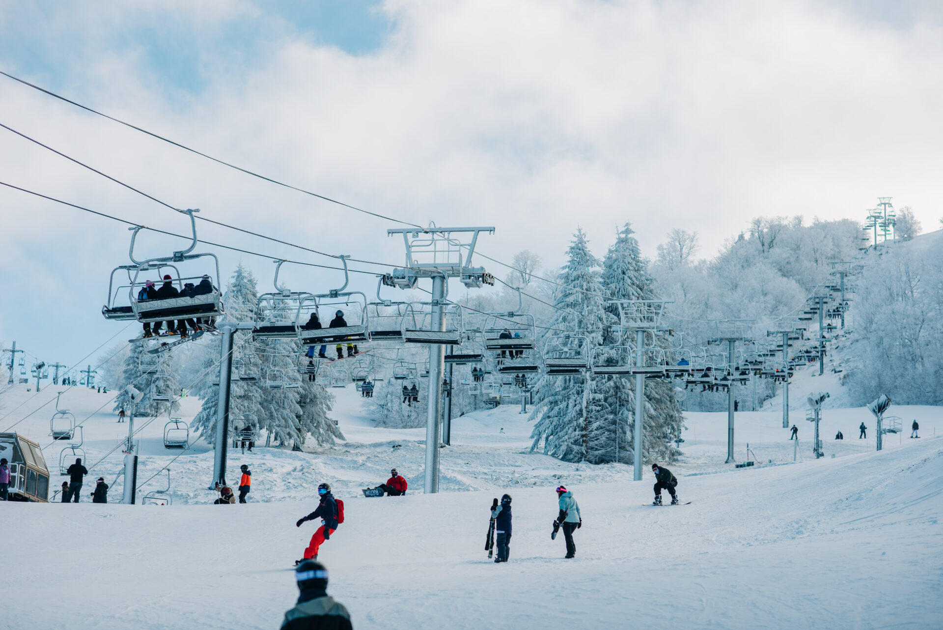
Sugar mountain summit cam looks like a blizzard right now. Jealous af
Beech summit 5500’+
Pound town, USA
 www.beechmountainresort.com
Pound town, USA
Web Cameras | Beech Mountain Resort
Check our web cameras at Beech Mountain Resort! Get live views of the slopes, weather conditions, and scenic landscapes to plan your visit.
www.beechmountainresort.com
Blizzard conditions in western nc if your high up. Actual blizzard warnings now in affect across the north east tho.
Good lord. I bet it’s throwing down right now between Rochester and Buffalo. That’s just ridiculous 
From Maxar regarding the upcoming short-lived cold:
“As low pressure exits the East, it will usher in colder air for the weekend. Temperatures are forecast to drop into the upper 20s as far south as the Carolinas, and there is further risk to the colder side of forecast based on the Euro OP. The model has temperatures dropping into the mid-20s in New York (LGA) and Washington DC and to 20° in Boston (forecast at 26° Sunday morning). It is worth noting that models have been largely cold biased with min temperatures, and our forecast accounts. The Euro OP has missed too cold by an average of 7.1° in Boston, 5.5° in New York, 4.1° in Washington DC and 2.5° in Atlanta in the past 10 days of observation at 2-3 days lead.”
“As low pressure exits the East, it will usher in colder air for the weekend. Temperatures are forecast to drop into the upper 20s as far south as the Carolinas, and there is further risk to the colder side of forecast based on the Euro OP. The model has temperatures dropping into the mid-20s in New York (LGA) and Washington DC and to 20° in Boston (forecast at 26° Sunday morning). It is worth noting that models have been largely cold biased with min temperatures, and our forecast accounts. The Euro OP has missed too cold by an average of 7.1° in Boston, 5.5° in New York, 4.1° in Washington DC and 2.5° in Atlanta in the past 10 days of observation at 2-3 days lead.”
Feb stats:
Max 76.3 Feb 3
Min 21.1 Feb 22
5.88 precip
2.25 snow
49.0 avg +4.5
Max 76.3 Feb 3
Min 21.1 Feb 22
5.88 precip
2.25 snow
49.0 avg +4.5
Feb stats:
Max 76.3 Feb 3
Min 21.1 Feb 22
5.88 precip
2.25 snow
49.0 avg +4.5
73.6
14.9
4.5" snow
precip issues again with the weather station but approx 5"
First February in 4 years we didn't hit 80 wonder if we can make it to April or even May with no 80s. Also colder than the last 3 on the min.73.6
14.9
4.5" snow
precip issues again with the weather station but approx 5"
Max 77.8Feb stats:
Max 76.3 Feb 3
Min 21.1 Feb 22
5.88 precip
2.25 snow
49.0 avg +4.5
Min 24.0
2 trace events of snow
7.44" of precip
47.9 avg +1.9
BufordWX
Member
February Stats:
Average Temperature: 46.2
Max Temperature: 73.6 (3rd)
Min Temperature: 25.9 (22nd)
Rain Total: 12.36 inches (Year total: 22.33 inches)
Rainiest day: 3.01 inches (6th)
Snow: 2 inches (8th) + 3 events with flurries(7th, 21st, 29th)
Flash Flood Warnings: 1 (6th)
Severe Thunderstorm Warnings: 1 (6th)
Tornado Warnings: 1 (6th)
