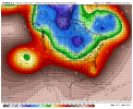
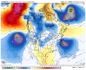
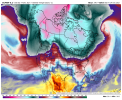
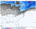
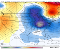
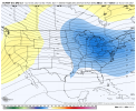
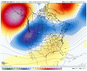
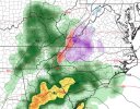
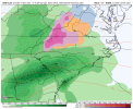
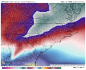
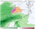
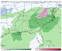
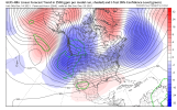
Isn’t this a totally different storm from what you were predicting? There’s too much disagreement between the models to get excited IMO; I’d be shocked if the EPS agreed.Glad to see the Euro on board of the winter storm. Looks like the prediction may come true after all. Watch for trends here on out! I think the GFS will eventually be robust like the 0z Euro, or increasingly robust.
-
Hello, please take a minute to check out our awesome content, contributed by the wonderful members of our community. We hope you'll add your own thoughts and opinions by making a free account!
You are using an out of date browser. It may not display this or other websites correctly.
You should upgrade or use an alternative browser.
You should upgrade or use an alternative browser.
Pattern December to Remember
- Thread starter SD
- Start date
Torch turned pre Christmas Miller A … 2010 Christmas storm repeat?
6z GFS a little stronger with the CAD push. It has wintery precip for the Triad west and northward. Baby steps.
Webberweather53
Meteorologist
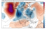
Good to see the EPS continues to be behind the curve on -NAO
30 with mega freezing fog! Was not expecting that.
Webberweather53
Meteorologist
JB mentioned in a tweet earlier that similar to 13 14 could be on the way. I would go streaking in front of his house singing Feliz navidad if that came close to happening this winter??. That's how confident I wont have to do that ??
This is nothing like 2013-14 which had positive AO/NAO most of the way. It’s behaving more like 2010-11 atm
From RAH (this is what we want to hear at this point):
."....The next northern stream wave will move through the northern Plains
Fri and Sat and into the Great Lakes by Sat night while the parent
trough extends southwest through the Baja. Another strong low will
move into the Pacific Northwest on Saturday. It will then move east
through the Intermountain West on Sunday and into the Plains on
Monday, picking up the southern stream wave over the Baja as it
moves through the Plains. The strength and trajectory of the
northern stream waves will help influence what happens at the
surface and thus what the weather will be like over central NC over
the weekend and early next week. Will hold off on specifics until
there is a bit better model agreement, but expect at least a chance
for precipitation over the weekend and again early next week. There
could be some p-type concerns early next week, though it is still
too early to tell with any confidence and the models are completely
out of phase with one another. A cold front is expected to move into
or through the area on Sunday with high pressure ridging in
thereafter."
Blue_Ridge_Escarpment
Member
Actually have model agreement for wintry precip first of the week from the 0Z Euro, 0Z CMC, and 0Z and 6Z GFS.
NCSNOW
Member
- Joined
- Dec 2, 2016
- Messages
- 9,509
- Reaction score
- 18,869
Awesome Pics Web; Documenting some of the whopper events in NC.Good to see the EPS continues to be behind the curve on -NAO
Would love ensembles to step up and show good stuff but the 00z EPS and the 06z GEFS stepped up at H5
Mcdowell and my man Blue_Ridge special!!!Ollie Williams Special!
View attachment 97889

