Storm5
Member
18z gefs isn’t very excited about the christmas precip but is very excited a few days later
Sent from my iPhone using Tapatalk
Sent from my iPhone using Tapatalk


C-Man,But it’s fired up about later in the week this run . Will look completely different at 00z
Sent from my iPhone using Tapatalk
Have to see what the Nam says later in the week, lol.FWIW, JB says the GFS has been the most steady model the last few days, and he expects the Euro to come towards a GFS like solution!")
Excellent books! I also have Mr. Ludlum's Early American hurricanes and tornadoes books. I ordered them through Weatherwise Magazine back in the 80's.Okay, I am trying to get my hands on two books by Ludlum, He wrote two volumes of books for Winter weather in the South from the 1600's to 1800's or some range like that. I'll get back to you guys if I get my hands on them.
I know looking at it, he was missing some key stuff during the Civil War. I have personally read some of Sherman's army journals from soldiers that had multiple snow and ice events here in the South, including Columbia that is not documented anywhere I have found.
Thank goodness it's a long way from me!! Watch out Rosie! Don't let that sag down on you any moreBut it’s fired up about later in the week this run . Will look completely different at 00z
Sent from my iPhone using Tapatalk
TonyThanks Tony! Still have patches of it! May you have your sleet storm!Thank goodness it's a long way from me!! Watch out Rosie! Don't let that sag down on you any more
Well then...Follow the yellow brick road.As for the Christmas storm, it could come back at oz.
* Shocked Face *A bit of a "sidepoint"with 18Z GFS.. Does show and increased Severe Risk for both Wednesday and Saturday with good "speed" shear and DP in Low 60's over N AL/N GA, and Southern TN. which is plenty for December.. Not saying outbreak at all, but worth being alert.
There's also a signal in Mexico CityI feel like this is the window of opportunity so glad to see at least a signal there.
I thought snowcover was the absolute best to reflect heat back out and keep warmth under it in the ground. Are you saying there is a known bias that the GFS is programmed incorrectly with that? Wow, we really need smarter people making our weather modeling.
Thanks Tony! Still have patches of it! May you have your sleet storm!

Clearly there is going to be a ratings war with Mets in AL....and all you gotta do is say the "S" word for Christmas. Not a wise move by any of them.
That is the most un-Glen Burns thing I’ve ever heard.
Same here in Ga. I’ve heard the s word on WSBTV More the past 2 days then ever before.After everybody completely blew the last storm we're seeing them be more aggressive; nobody wants to miss the next one. They'd rather be wrong about possible snow than not mentioning it and getting hammered..
JB says that's the coldest ensemble run , of any model, he's ever seen!!Canadian Ensemble 10 day period starting Dec. 23...now THAT is a cold nation!
Think about where we were the last two days at this time. We were kind of bummed that runs like 12Z & 18Z had the SW mess/SER keeping the SE from gettting cold even though we were hopeful for better runs ahead. Two nights ago, the 0Z GFS delivered the cold in a stunningly different run from prior runs. Many of us like myself were happy and smiling. Then the 6Z-18Z runs were back to SER/SW energy to some extent and took away our smiles.Then the magic suddenly returned with last night's 0Z GFS! Well, unlike the two night ago 0Z being on an island, this time the 0Z was followed by more cold runs thank goodness! It looks to me like the SER/lingering SW US lingering energy problems are gone (I hope I'm not wrong) and we can now sit back, relax, and look forward to future runs with excitement rather than with worry.

And it will be getting betterBest weather forum online!
I don't if this was answered. You're right but Webb is saying the GFS tends to radiate quite a bit too much over snowcover. It essentially overdoes it and it contributes to cold bias in winter. I thought that maybe it was modified to correct this but it doesn't appear so.
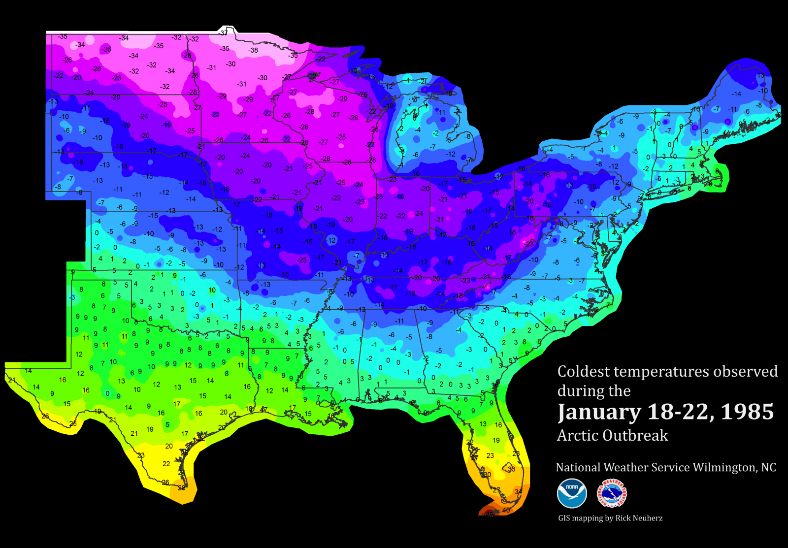
Good. We dont want 83 style cold. Just need it cold enough to bring us snow.I will add as cold as these runs are being shown by the models I will point out temps are not as cold (close yes) as say the 83 arctic blast. Also I guess what gets me looking back there was no snow on the ground just true arctic outbreak... Amazing
I will add as cold as these runs are being shown by the models I will point out temps are not as cold (close yes) as say the 83 arctic blast. Also I guess what gets me looking back there was no snow on the ground just true arctic outbreak... Amazing
I don't know how the new upgrades addressed the snow cover issue either, but the GFS is still a northern stream biased model and still appears to have its cold bias as one gets further in the run (MR, LR).
Now with that said...the extreme HP being depicted, IF modeled correctly or very close to correctly, then the surface cold air will be very much close to fruition or even could be downplayed a bit. Very cold, dense arctic airmasses have actually been underestimated before WRT very cold dense SHP areas (850mb temps to SFC schemes are thrown off).
The CMC/EURO/GFS have beem consistent with one thing. Massive -EPO ridge translating to a very dense SHP downstream sliding into the Northern States towards the end of this week. Will it be record breaking? Probably not, but if it does reach this 1060mb or greater territory, one may have to give credence to the bitterly cold airmass in response to such extreme high pressures at the SFC.
Yes I agree models have been showing this to some degree for few days now it seems. Another it was not a transient shot of cold air it hung around for awhile which is unusual for out area anyway and reloaded a bit...Also I believe that was a 1060+mb high back then. Them in late Jan yet another blast came in late that month but not as coldAlthough Webb is 100% right about the GFS cold bias, others have pointed out that models often have trouble with modeling how far south low level very cold air will go with big and very strong Arctic highs. I think that the major 12/1983 and 1/1982 (snowjam) cold outbreaks are good examples of this. Has this problem been perfected? I don't know but I'd be wary about the possibility of it getting colder than even the coldest GFS runs have shown. This is no ordinary setup. I can't even recall anything like what we're seeing now, all 3 major models repeatedly showing these huge highs. Something highly unusual apparently is going to happen.
I thought snowcover was the absolute best to reflect heat back out and keep warmth under it in the ground. Are you saying there is a known bias that the GFS is programmed incorrectly with that? Wow, we really need smarter people making our weather modeling.