Storm5
Member
Except it nailed the January storm last and the storm 3 days ago so.....Nam past 48 I never right. Lol
Except it nailed the January storm last and the storm 3 days ago so.....Nam past 48 I never right. Lol
I must admit to not liking that the last 3 GEFS runs have had a slight increase in the SE ridging with each run during the 11-15 day period vs the prior one but hopefully this trend is just a burp. It looks too Ninaish too early vs analogs. This is the type of thing I'd expect to see more in the last half of Jan and in Feb, when a Niña tends to be ugliest for the SE, than late this month when QBO/ENSO/-AO analogs say cold returns to the SE and continues into early Jan.

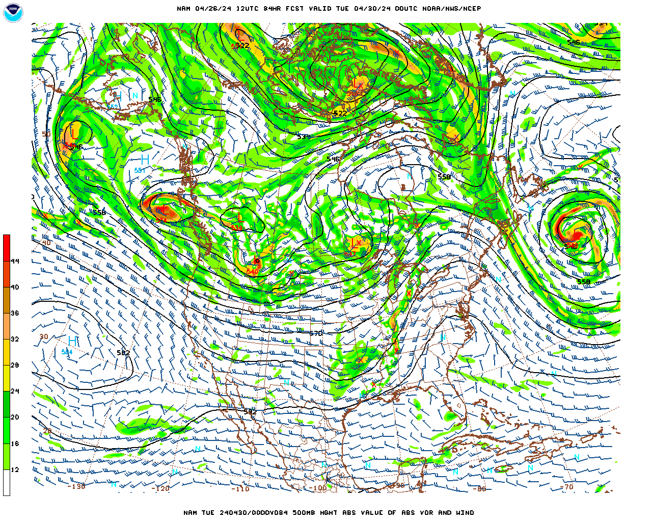
Here's where the 12z NAM ends up:
even blind squirrel can find a nut every one while. Just not likely thoughExcept it nailed the January storm last and the storm 3 days ago so.....
Still interested more Xmas timeframe ... mjo heading into phase 1 and 2. Stormy cold phase
If this energy was coming down the stack of Idaho I'd be jumping with joy . Sadly it's not
It sure does. Looks almost like a weak Miller B before it strengthens out to sea.Damn the 12z gfs was a huge improvement for NC

If only these 2 would work


German model says it want to amp up the western ridge and dig the vort more, similar to last weekend's storm.
Per MDA met this morning:
"1-5 and 11-15 Day Similarities/Differences
After a warm 6-10 Day period, the forecast reverts back to a colder regime in the 11-15 Day. The overall pattern themes echo some similar themes to that of the near-term, particularly in the eastern Pacific as the EPO heads back into its negative phase after a brief sojourn to the positive side in the 6-10 Day, resulting in a strong upper-level ridge building over western Canada and Alaska while troughing deepens downstream across the eastern half. While the general pattern shape is very similar, there are some notable differences in the details that preclude the period from resembling a carbon copy of the 1-5 Day. The western ridge is shifted further west in the 11-15 Day than the 1-5 Day, which results in a colder outcome across the Rockies compared to the very warm 1-5 Day. However, it is worth noting that the Euro and especially the GFS had the ridge being too far west ten days ago when today’s 1-5 Day period was 11-15 Days out, and as a result, the GFS in particular was far too cold in the West and Plains. Meanwhile, both ensembles (but especially the GFS) show some ridging over the Southwestern Atlantic during the 11-15 Day, which aims to prevent cold from reaching as far south as in the 1-5 Day period."
For those fearing the dreaded SE ridge, this observation by this MDA met is encouraging in that it suggests an eastward shift of the western US ridge/eastern US trough couplet will verify vs what the recent GEFS runs have been showing for the 11-15. If this E shift for the current 11-15 were to verify similarly to what is happening in the current 1-5, that would mean that the GEFS SE ridge is a fake.
I was just about to post that you were gonna love the 12z gfs lolOMG at the potential associated with the wild pattern suggested by the 12Z GFS in the 11-15 with that very strong western ridge and accompanying extremely cold air that includes 850s of -32C in MN/two Arctic highs coming down as well as no end in sight at the end of the run. Don't worry about the details like storms this far out. Just marvel at the potential with this type of pattern.
OMG at the potential associated with the wild pattern suggested by the 12Z GFS in the 11-15 with that very strong western ridge and accompanying extremely cold air that includes 850s of -32C in MN/two Arctic highs coming down as well as no end in sight at the end of the run. Don't worry about the details like storms this far out. Just marvel at the potential with this type of pattern.
It aint gonna sneak up on me, baby. I got my umbrella drying out and ready to go!


We really gotta get rid of some of these big red Ls up near the Lakes. I know they're not the be all end all, but they are generally not very helpful. I like the potential in the pattern though. Not boring. I also like your other post about the warm-up not being as vigorous as advertised earlier. A lot of good winters behave that way. Usually, we get the opposite. I like how we're starting off.Lol I love how NC still finds a way to get sleet and freezing rain in GFS fantasyland w/ a coastal low...
View attachment 1996
OMG at the potential associated with the wild pattern suggested by the 12Z GFS in the 11-15 with that very strong western ridge and accompanying extremely cold air that includes 850s of -32C in MN/two Arctic highs coming down as well as no end in sight at the end of the run. Don't worry about the details like storms this far out. Just marvel at the potential with this type of pattern.
They are overrated! I mean you were worried about it with the last storm, and all for not! Raleigh scored big, I mean Houston!We really gotta get rid of some of these big red Ls up near the Lakes. I know they're not the be all end all, but they are generally not very helpful. I like the potential in the pattern though. Not boring. I also like your other post about the warm-up not being as vigorous as advertised earlier. A lot of good winters behave that way. Usually, we get the opposite. I like how we're starting off.
")

I saw snow on Dec 9. A lot sooner than I usually see snow here.
A good reminder for folks.Yeah, the average first accumulating snowfall in RDU (when we do observe accumulating snow) comes by about January 2nd on average, given the pattern that lays ahead, we definitely have some chances to break out earlier than normal this year...
Yeah not as juicy as yesterday's 12z run but an improvement from 00z no doubtUKMET looks interesting this run...
