-
Hello, please take a minute to check out our awesome content, contributed by the wonderful members of our community. We hope you'll add your own thoughts and opinions by making a free account!
You are using an out of date browser. It may not display this or other websites correctly.
You should upgrade or use an alternative browser.
You should upgrade or use an alternative browser.
Pattern December Dud 👀
- Thread starter SD
- Start date
One thing is starting to present itself (on the models) is CAD may dominate the weather all the way up to the new year. Webber stated this the other day.
Avalanche
Member
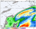
Would love to be in Charleston overlooking the storms off the ocean12z Canadian Christmas morning:
View attachment 156295
Webberweather53
Meteorologist
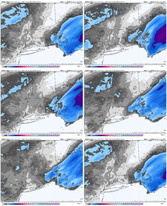
I see you, Boston. Getting their last-minute trend as expected.
View attachment 156306
I was literally at this exact location a week ago.
View attachment 156307
I saw a lot of people up there pooping on the NAM too.
This is another classic case of advancing mid-level warm advection overperforming vs model forecasts and the NAM being the closest to sniffing it out correctly, as it often does around here in CAD/overrunning events.
I can certainly think of other cases around here like Jan 28-29 2014, Jan 6-7 2017, Dec 2017, & Feb 2020 (GA) where we’ve seen similar short term model busts for the same dynamical reasons.
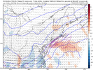
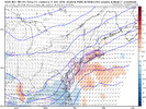
Yep, this is the NAM's wheelhouse (usually). Even in our light event earlier in the month, the NAM did best with this. As you've said, there have been many, many examples of this including some more minor events as well (I can think of one that happened earlier in January 2014 I believe - just a light snow event but still overperformed relative to most guidance).I saw a lot of people up there pooping on the NAM too.
This is another classic case of advancing mid-level warm advection overperforming vs model forecasts and the NAM being the closest to sniffing it out correctly, as it often does around here in CAD/overrunning events.
I can certainly think of other cases around here like Jan 28-29 2014, Jan 6-7 2017, Dec 2017, & Feb 2020 (GA) where we’ve seen similar short term model busts for the same dynamical reasons.
View attachment 156308
View attachment 156309
Avalanche
Member
I think it’s more than a feeling, Boston will get theirs.I see you, Boston. Getting their last-minute trend as expected.
View attachment 156306
I was literally at this exact location a week ago.
View attachment 156307
NCSNOW
Member
All the family is coming here for Christmas, so I won't go up to Boone until after the new year. But the high country is getting their snow.
King Street in Boone: https://www.resortcams.com/webcams/king-street-boone/
Beech Ski Slopes: https://www.beechmountainresort.com/mountain/webcams/
King Street in Boone: https://www.resortcams.com/webcams/king-street-boone/
Beech Ski Slopes: https://www.beechmountainresort.com/mountain/webcams/
GoDuke
Member
Are snow showers going to continue through out the day or is it over? Thinking about making a day trip up to Boone today.All the family is coming here for Christmas, so I won't go up to Boone until after the new year. But the high country is getting their snow.
King Street in Boone: https://www.resortcams.com/webcams/king-street-boone/
Beech Ski Slopes: https://www.beechmountainresort.com/mountain/webcams/
Probably over now:Are snow showers going to continue through out the day or is it over? Thinking about making a day trip up to Boone today.
Today
A chance of snow showers, mainly before 8am. Partly sunny, with a high near 29. Northwest wind 13 to 17 mph, with gusts as high as 28 mph. Chance of precipitation is 30%.
Tonight
Partly cloudy, with a low around 13. Northwest wind 5 to 9 mph.
Sunday
Sunny, with a high near 34. Northwest wind around 5 mph becoming calm in the morning.
Sunday Night
Mostly clear, with a low around 17. Calm wind.
Monday
Sunny, with a high near 37. Calm wind becoming south around 6 mph in the morning.
I would go straight up to Beech Mountain. Grab something to eat and play in the snow. The Sledding Hill is a good place to go. It's free.
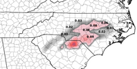
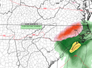
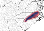
The sneaky little Christmas Eve morning system isn't getting enough attention IMO. I won't take much for the attending precip shield to extend a bit further NW bringing a raw light icing and sleet event into NE Ga. (hometown stretch) but mainly through the central Carolinas.
It's not much, but something to keep an eye on while we wait for the January deep freeze.
If nothing else, it'll feel like Christmas for a change.
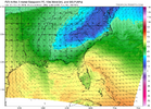
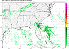
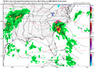
It's not much, but something to keep an eye on while we wait for the January deep freeze.
If nothing else, it'll feel like Christmas for a change.


Oh, and I'm only the messenger...
Webberweather53
Meteorologist
Yeah i have to agree with most here, we have to watch this system around Christmas Eve.
Even without much on the precip fields on some guidance, you still have to be weary of freezing drizzle here with solid warm advection above the cad dome and temps within striking distance of freezing over the Piedmont. The fact that todays storm over performed a bit in the mid Atlantic makes me feel a little better about this potential threat as the air mass upstream may be a bit colder.
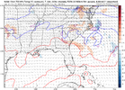
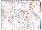
Even without much on the precip fields on some guidance, you still have to be weary of freezing drizzle here with solid warm advection above the cad dome and temps within striking distance of freezing over the Piedmont. The fact that todays storm over performed a bit in the mid Atlantic makes me feel a little better about this potential threat as the air mass upstream may be a bit colder.


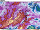
@Webberweather53 and I were just talking about this yesterday, but you can't totally discount the NAM here. If there is strong H85 frontogenesis (and look at that overrunning potential) you could certainly see some significant precipitation break out.
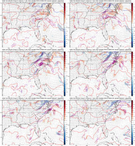
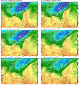


RGEM has also been trending towards a more consolidated wave to spark the overrunning.
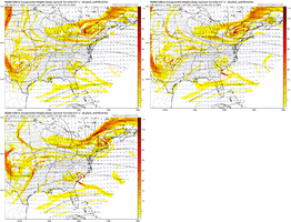
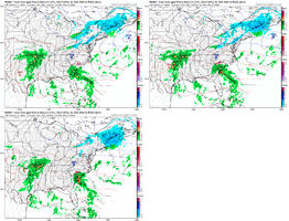
With such a cold air mass having been deposited in place, a relatively strong in-situ / hybrid CAD could easily support some FZRA/FZDZ especially deeper into the wedge despite the surface high somewhat pulling out.


With such a cold air mass having been deposited in place, a relatively strong in-situ / hybrid CAD could easily support some FZRA/FZDZ especially deeper into the wedge despite the surface high somewhat pulling out.
Avalanche
Member
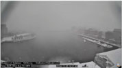
Bar Harbor in Maine is cookin’ look at that snow!!!RGEM has also been trending towards a more consolidated wave to spark the overrunning.
View attachment 156354View attachment 156355
With such a cold air mass having been deposited in place, a relatively strong in-situ / hybrid CAD could easily support some FZRA/FZDZ especially deeper into the wedge despite the surface high somewhat pulling out.

