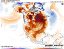
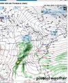
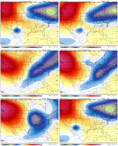
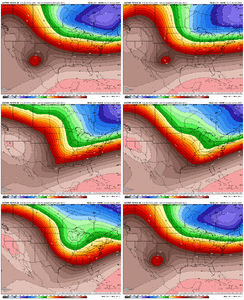
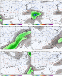
.3 this morning what a model bust
-
Hello, please take a minute to check out our awesome content, contributed by the wonderful members of our community. We hope you'll add your own thoughts and opinions by making a free account!
You are using an out of date browser. It may not display this or other websites correctly.
You should upgrade or use an alternative browser.
You should upgrade or use an alternative browser.
Pattern December Dud 👀
- Thread starter SD
- Start date
NCSNOW
Member
Depends on the wind. It dries ground up pretty quick if we get winds like we have had last couple of winters. Definitely helps us when trying to workDrought Buster Week;
Some of us gonna net close to 4 inches qpf before the end of this week. Once these winter big rains unfold, the ground/yard/ Pasteur/golf course stays wet till late Feb, regardless how many days of sun. Unless its frozen
NCSNOW
Member
NWS only forecasted a tenth of an inch:
Most Gauges western Piedmont .30+
This one in Greensboro about to top half inch mark
Most Gauges western Piedmont .30+
This one in Greensboro about to top half inch mark
| SOUTH BUFFALO CREEK AT US 220 AT GREENSBORO, NC | 0.14 | 0.23 | 0.38 | 0.49 | 0.49 | 0.49 | 0.49 | 0.49 | 2024-12-09 07:55:00 |
1.28” so far.
NWS only forecasted a tenth of an inch:
Wednesday I heard around an inch. Hopefully tomorrow holds off as need to get sod downNWS only forecasted a tenth of an inch:
Most Gauges western Piedmont .30+
This one in Greensboro about to top half inch mark
SOUTH BUFFALO CREEK AT US 220 AT GREENSBORO, NC 0.14 0.23 0.38 0.49 0.49 0.49 0.49 0.49 2024-12-09 07:55:00
Most Gauges western Piedmont .30+
This one in Greensboro about to top half inch mark
SOUTH BUFFALO CREEK AT US 220 AT GREENSBORO, NC 0.14 0.23 0.38 0.49 0.49 0.49 0.49 0.49 2024-12-09 07:55:0
tazaroo
Member
.55 at my house overnight.
AI might be fixing to throw us a big one
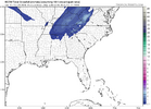
RAH is not saying much (details), except to confirm the possibility of CAD for the weekend.EURO is right there with Canadian for onset ice late this weekend. Nice 1047HP will suffice.
View attachment 155683
<<<last paragraph of long-range discussion>>>>>
"Our next system appears to be associated with a shortwave trough
situated near the central Plains Sat and the sliding generally
eastward with time over the weekend. Although the 00z GFS and Euro
are in relatively good agreement, this appears to be exception to
the rule as EOF H5 patterns show a considerable amount of variance
related to timing as well as amplitude of this feature, resulting in
low-forecast confidence on this next system. Depending on the
timing, given the initial favorable location of the surface high over
the Northeast, a classic or perhaps hybrid CAD pattern may develop
over the weekend into early next week."
Us eastern Piedmont folks don't like hybrid CAD setups. Not enough cold air. For the western Piedmont / foothills areas, this may work (as shown on the Canadian). Maybe we can trend that NE high westward some and build the classic (strong) CAD setup.
^^The euro would be a close call. Looks like a race with the cold air and moisture.
Brent
Member
Still some snowy members on the EPS around the 19th
No sign of a big torch
No sign of a big torch
griteater
Member
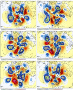
I hope this model becomes useful & reliable. I get the hunch that it has a cold bias though.In the big picture, the Euro AI continues to want to favor enhanced western ridging compared to the standard modeling
View attachment 155687
weatherfide
Member
- Joined
- Jan 5, 2017
- Messages
- 3,304
- Reaction score
- 4,904
.19" here today. Looks like Tuesday is the rain maker day.

