-
Hello, please take a minute to check out our awesome content, contributed by the wonderful members of our community. We hope you'll add your own thoughts and opinions by making a free account!
You are using an out of date browser. It may not display this or other websites correctly.
You should upgrade or use an alternative browser.
You should upgrade or use an alternative browser.
Pattern December Doldrums 2025 🎄 ❄️
- Thread starter SD
- Start date
CNCsnwfan1210
Member
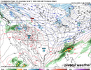
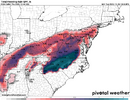
And the way the medium range has been working out here lately, what is this system going to look like when we get closer in time?
Sent from my iPhone using Tapatalk
This is insane development. We were going to full roast this time period.
NBAcentel
Member
NBAcentel
Member
CNCsnwfan1210
Member
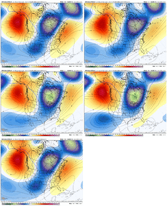
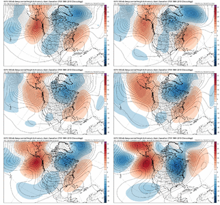
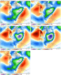
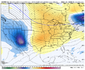
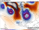
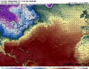
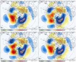
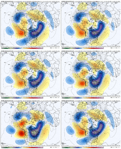
Complete evaporation of the southeast ridge. Feels like last year all over again View attachment 177206
Loving the trend with the TPV too, drifting south and stronger.
Sent from my iPhone using Tapatalk
Saying good riddance to that Southeast ridge is the first step to setting up shop for some possible winter weather and precipitation. Now we need it to stay away while the MJO swings into phases 7 and 8. Then we might be open for business.Complete evaporation of the southeast ridge. Feels like last year all over again View attachment 177206
CNCsnwfan1210
Member
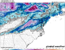
I got a feeling parts of NC and VA might be in for something this time next week if this keeps up. This is heading for a decent cad event esp if the TPV wants to head S
Sent from my iPhone using Tapatalk
Sent from my iPhone using Tapatalk
NBAcentel
Member
Haven’t posted yet this winter been dealing with some health issues but I am getting interested. The models have been quite jumpy and it’s early but the trough continuing to trend to the east coast the last few weeks is interesting. Now we are starting to see a threat in first week of December, areas north of 40 in NC especially in western part of state have a chance of something.
Sent from my iPhone using Tapatalk
Sent from my iPhone using Tapatalk
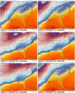
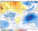
Worst torch ever.TORCHHHHHH View attachment 177208
NBAcentel
Member
SnowNiner
Member
Good lawd.
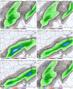
View attachment 177207
It's interesting. The pacific is staying pretty much the same, but the PV shifting south is what's squeezing the SE ridge out of the way into a WAR and bringing the cold south. I'm not sure why though. There's no blocking up top pushing it down so I'm not sure why the southern shift. Not complaining but it's an interesting trend.
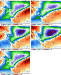
End of the Euro just keeps delivering cold source after cold source.
NBAcentel
Member
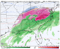
CMC is close to something for the SE especially if you drop that leading cold vort further south or slow it a bit
Blue_Ridge_Escarpment
Member
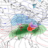
Very icy 12/3-12/4 on CMC verbatim.CMC is close to something for the SE especially if you drop that leading cold vort further south or slow it a bit
LukeBarrette
im north of 90% of people on here so yeah
Meteorology Student
Member
2024 Supporter
2017-2023 Supporter
And it ends with a look that we would love inside of D5End of the Euro just keeps delivering cold source after cold source.
NBAcentel
Member
Bigedd09
Member
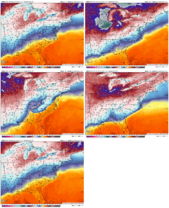
cold biased model. Realistically that's a 38 degree rainlol 70 degrees and torch View attachment 177216
NBAcentel
Member
CNCsnwfan1210
Member

GEFS is a little behind, probably playing catch up like it normally does.
Sent from my iPhone using Tapatalk
SnowNiner
Member
cold biased model. Realistically that's a 38 degree rain
Love to see the SE ridge disappearing from the models in early December. But I have to agree with this. CMC is cold biased and not generally useful in my opinion (ensembles may have a shred of value). Remember the foot of snow it just kept wanting to give us until like 2 days out last year? Pensacola got it instead, lol.
Last edited:
Bigedd09
Member
Yup! I will never put any stock into the CMC hahaLove to see the SE ridge disappearing from the models in early January. But I have to agree with this. CMC is cold biased and not generally useful in my opinion (ensembles may have a shred of value). Remember the foot of snow it just kept wanting to give us until like 2 days out last year? Pensacola got it instead, lol.
That CMC run would rival/ perhaps surpass the catastrophic 2002 epic central Ice storm totals. It's off cause you need surface temps upper 20's lower to really maximize all qpf into frzn rain. 2002 we where in the low 20's and got around 1.5 inches of qpf.
CMC is hanging out 30-31, so it want happen as depicted. Glitch they have never fixed. Assumes every drop will freeze, no account self limiting process etc.
CMC is hanging out 30-31, so it want happen as depicted. Glitch they have never fixed. Assumes every drop will freeze, no account self limiting process etc.
That LP track for Tuesday coming out of Gulf up off Carolina Coast on the 12z Ops, needs to be 50 miles out to sea, not hugging the coastal plain. Atleast we will get some good rain out of it, albeit a cold rain.
lexxnchloe
Member
iGRXY
Member
Ahhhh my first 1.5" ZR ice storm from the CMC. Tis the season. With that said, It would not surprise me if and I mean big if, we get something frozen if it wouldn't be ZR. We are teetering between massive cold dump and SER. You likely meet in the middle and that scenario is ice storm in the CAD areas if you time up the North Atlantic and NE trough.
Just for kicks, I looked at AccuWeather's daily forecast for December and though I put no validity in the day to day forecasts, the pattern it is showing was interesting. After the first ten days of December, one would be hard pressed to find a day that was normal or above as far as high temperature. If a temperature pattern like this were to occur, some of us might get lucky and cash in on some winter precipitation.
NBAcentel
Member
WHAT HAPPENDUHHH
Pac Ridge placement/orientation/strength. . Means everything toward driving cold down EC and pressing SER out of the way. plus the height rise up over NP
I'm not displeased whatsoever with a slow-roll through phase seven into eight, especially if much of the time spent in seven is more like 7.5+ While climatologically, phase seven in winter tends to promote a SE ridge, it's a much better phase to be entering climo winter for North America as a whole, leaving us here in the SE with cold air nearby ready to beat down the ridge from time to time.The latest ext EPS (11/23) is predicting an 11 day long phase 8 for 12/14-24 averaging ~2.0 amplitude. The latest ext GFS is predicting a 12++ day long phase 8 for 12/13-24++ but with a much lower avg amp that with extrapolation would likely be headed to a sub 1.5 amp for the full phase 8 avg.
Regarding the EPS prog, there hasn’t been an 11+ day phase 8 since back in Feb of 2010 (2/7-17).
Regarding the GEFS prog of 12++ days, there hasn’t been a 12+ day long one since way back in Dec ‘75-Jan ‘76 (12/19-1/5)! There have been only two on record of 12+ days: the just mentioned one of 18 days and a 13 day long one 1/19-31/75.
Also, the 15 long phase 8s (8+ days) have followed long phase 7s (9+ days) only twice out of the 15 cases although the two that did were two of the coldest.
So, needless to say, I’m taking these very long phase 8 progs with a huge grain for now.
Of the 15 long phase 8s, the ones averaging an amp of <1.8 (like GEFS has) were significantly colder in the E US on avg than those with an avg amp >1.8 (like EPS has).
The GEFS-like sub 1.8 amp cases include the very cold outbreaks of Jan of 1985, Jan of 1988, Dec of 1989, and Feb of 2010 with 3+” snows (including historic snow in 2010) for all 4 in Baltimore for example. The other 3 sub 1.8 amp phase 8s had either BN (1) or NN (2) temps at Baltimore. So, even a GEFS-like moderate long phase 8 hasn’t always been cold at Baltimore but rather in most cases and with no mild cases.
But half of the >1.8 amp phase 8s were warmer than normal! So, if there’s actually a very long phase 8, I’ll be rooting for one closer to the lower amp of GEFS than the higher amp of EPS due to better prospects for cold per long phase 8 history.
11/23/25 ext-EPS prog: 11 day long high amp phase 8
View attachment 177155
11/23/25 ext-GEFS prog: 12++ day moderate amp phase 8
View attachment 177156
CNCsnwfan1210
Member
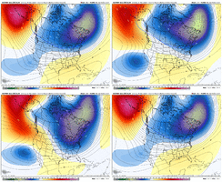
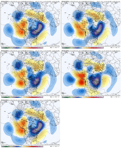
EPS/AIFS trying to go for the ridge bridge
Sent from my iPhone using Tapatalk

