Webberweather53
Meteorologist
Went over to all snow here and it’s coming down fast and furiously
Nice! We have snow here too. The models seem to be all over the place. Do you think 1-2 inches in a few spots?Went over to all snow here and it’s coming down fast and furiously
Yeah that doesn’t seem unreasonable to me I think someone could get over 2” hereNice! We have snow here too. The models seem to be all over the place. Do you think 1-2 inches in a few spots?
It's snowing pretty good on my side of town. Good thing I get to work from home today.Yeah that doesn’t seem unreasonable to me I think someone could get over 2” here
Wow. It looks like you are only 15 miles from Greenville. Seems like you did a lot better than they did.just got power back had 11 hours of snow with a total of 7 inches before it flipped to sleet ...sleet total of 2 inches. still melting in the rain gauge looks like liquid total is going to be around 3 inches
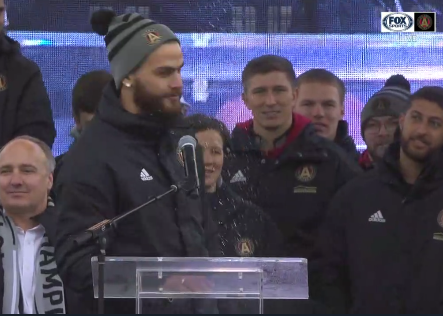
Looks like a tight band.Light flakes coming down at the Atlanta United victory celebration
yea i get snow here a lot of time with Greenville never getting a flakeWow. It looks like you are only 15 miles from Greenville. Seems like you did a lot better than they did.
I think to was due to a gap in the canopy overhead; you could see it coming down more broadly in the wider camera shots.Looks like a tight band.


Here is a video and some pics I took of the storm.
View attachment 9037 View attachment 9038 View attachment 9039 View attachment 9040
How much snow did you get...
That great hope you are enjoying it9.5 inches
")
Stunning !!!!!! And just think, it's not even winter yet ! It's gonna be a fun winter. Is this your biggest ever December snowfall ?
Nah. With temps in the mid to upper 40s under sunny skies tomorrow, the roads should be fine by Wed morning.Greenville county schools closed again tomorrow! I’d bet Wednesday is a gimme also!
elevations in far northern Greenville County are over 3,000 feet (I live in the city of Greenville and I'm at 1,000 feet) - I've witnessed school closings with sunny/dry conditions in Simpsonville/Fountain Inn - discussions every winter in splitting Greenville County into districts (like Spartanburg County) due to significant differences in winter weatherNah. With temps in the mid to upper 40s under sunny skies tomorrow, the roads should be fine by Wed morning.
