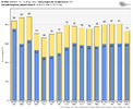
Only about 1 month and 3/4 , before days start getting shorter!94/77 is coming for him
-
Hello, please take a minute to check out our awesome content, contributed by the wonderful members of our community. We hope you'll add your own thoughts and opinions by making a free account!
You are using an out of date browser. It may not display this or other websites correctly.
You should upgrade or use an alternative browser.
You should upgrade or use an alternative browser.
Pattern April Thread
- Thread starter SD
- Start date
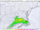
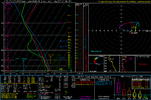
This might be the first solid setup for NC this year when it comes to widespread convection, and basically a 0 tornado threat
Biggest threat would be damaging winds given large inverted Vs/steep low level lapse rates with large Dcape and dry air present in the mid levels, also some minor mid level flow for multicell clusters/minor organization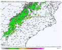
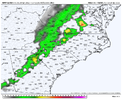
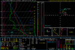
Biggest threat would be damaging winds given large inverted Vs/steep low level lapse rates with large Dcape and dry air present in the mid levels, also some minor mid level flow for multicell clusters/minor organization


Shaggy
Member
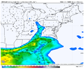
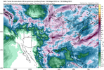
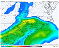
Now a decent area under moderate drought in east central NC. We are running about -4.5 inches right now. Some rain chances coming up but not enough to break this drought. May will be a make it or break it month if we stay dry expect a hot baked ground to sustain some very hot days this summer.
View attachment 117648
View attachment 117650
View attachment 117651
View attachment 117649
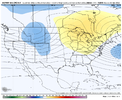
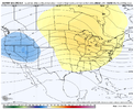
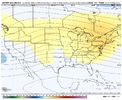
In all seriousness though its like winter where the models show a cold shot for a few runs then the wheels come off
00z GFS definitely backed off on the cool weather here.
We'll see soon enough if it were a fluke or not.
Last edited:
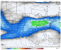
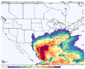
Looking at the timing on this, there should be plenty of instability with this coming in at peak heatingThis might be the first solid setup for NC this year when it comes to widespread convection, and basically a 0 tornado threat
Biggest threat would be damaging winds given large inverted Vs/steep low level lapse rates with large Dcape and dry air present in the mid levels, also some minor mid level flow for multicell clusters/minor organization View attachment 117645View attachment 117647View attachment 117652
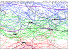
Well bout time to take the wheels off the cooler pattern wagon anywayView attachment 117648
View attachment 117650
View attachment 117651
View attachment 117649
In all seriousness though its like winter where the models show a cold shot for a few runs then the wheels come off
Yep, up to this point a big eastern trough meant a cold airmass with potential of frost/freezes. We're now at a point a trough means beautiful weather (70s low humidity); anything else is warm/humid. And those troughs will come through less and less in May.Well bout time to take the wheels off the cooler pattern wagon anyway
12z euro is absolutely beautiful
It's currently 82*F at DFW while it's 53*F in Wichita Falls.
Pool, walking, pickleball, storm watching all can take place in this weather. Muy bien
Giddy upPool, walking, pickleball, storm watching all can take place in this weather. Muy bien
BHS1975
Member
Yea because temperatures is supposed to stay the same forever. Yawn
The point is October is like what September used to be with the heat and humidity backing off near mid month.
Sent from my iPhone using Tapatalk
Last fall it was mid September for first real cold front.The point is October is like what September used to be with the heat and humidity backing off near mid month.
Sent from my iPhone using Tapatalk


