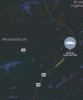
The storm along the Al/Ms line might be a beast. Can't really tell a lot since it's between radars
-
Hello, please take a minute to check out our awesome content, contributed by the wonderful members of our community. We hope you'll add your own thoughts and opinions by making a free account!
You are using an out of date browser. It may not display this or other websites correctly.
You should upgrade or use an alternative browser.
You should upgrade or use an alternative browser.
Severe 3/24-3/26 possible severe wx
- Thread starter NBAcentel
- Start date
-
- Tags
- severe weather
Z
Zander98al
Guest
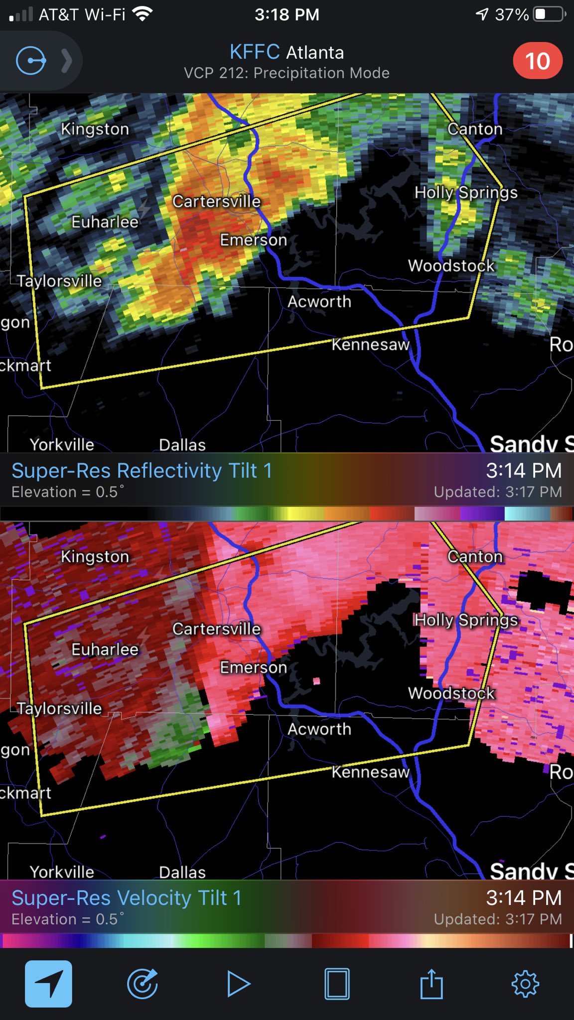
Debris being picked up on reflectivity 
TDS is terrifying
B
Brick Tamland
Guest
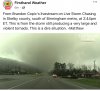
TOG in Shelby County.
Another tornado warning OUTSIDE the main risk area near Commerce GA
Damage reports flooding in in the wake of this per Spann
B
Brick Tamland
Guest
Entrapment reported in Eagle Point. Major damage in Helena.
bingcrosbyb
Member
Velo is impossible to decipher. Still got pronounced hook but hoping maybe some weakening here
Z
Zander98al
Guest
Velo is impossible to decipher. Still got pronounced hook but hoping maybe some weakening here
[/QVelocity is hard to tell because of the hills and valleys in that area I think
B
Brick Tamland
Guest
Tornado headed southwest of Leeds according to scanner traffic.
Z
Zander98al
Guest
Carrelton alabama tornado is spinning like a top. This will be the next beast. 
ChattaVOL
Member
WXinCanton
Member
SC

NorthGaWinter4
Member
@ForsythSnow we are going to have to be weather aware tonight
Z
Zander98al
Guest
Spann's house got damaged, his wife is okay.
??Spann's house got damaged, his wife is okay.

HSVweather
Member
NoSnowATL
Member
Multiple trees down at my mother in laws house in Shelby. No major damaged to the house. They are walking the neighborhood now. No power and many trees blocks roads.
I knew something was wrong when he just left like that. Prayers for everyone down thereSpann's house got damaged, his wife is okay.
NBAcentel
Member
VWP Hodograph at GSP ??
Z
Zander98al
Guest
The tornado is ramping back up again it looks like
WXinCanton
Member
Ron Burgundy
Member
Is that Spann’s house?
znel52
Member
Possible TDS with that again. CC is messy thoughThe tornado is ramping back up again it looks likeView attachment 80450
EDIT- It's gone. Maybe have just been noise.
JimRussell
Member
sure is alot of junk convection north of Bham. Is this going to keep things tame in those areas?
@Arcc how close is this going to be to you
No where close. I’m about 50 miles south of where it is right now.
Scanner: Tornado heading to Lincoln.
Who lived in Pell City from TW I thought it was youNo where close. I’m about 50 miles south of where it is right now.
Z
Zander98al
Guest
Still looks nasty 
thanksgivingbrown
Member
The warm front was forecasted to lift all the way to Nashville but I feel like it's struggling to lift passed the Tennessee river
Stormsfury
Member
What I'm seeing is that James Spann's home has suffered major damage but his wife was sheltered and is ok.
Dads house in Helena dodged it barely. Sisters house in Pelham is also okay. That was scary. Hopefully that’s all we have to deal with, keeping an eye to the west