• Hello, please take a minute to check out our awesome content, contributed by the wonderful members of our community. We hope you'll add your own thoughts and opinions by making a free account!

Tropical 2025 Tropical Thread

LC

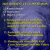
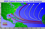
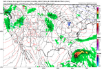
The presence of a strong, well-defined ITCZ convection array over northern South America strongly implies an early, and active, Atlantic Basin tropical cyclone season. This is with particular emphasis this season on the Gulf Coast and Southeast shoreline. Note that the frontal structure in the Great Plains is weakening; there will be a prominent severe weather threat in Iowa, Missouri, and Arkansas on Easter Sunday, but odds on significant moisture are no much less in Texas and Louisiana. The cool intrusion behind the front will have some effects in the Midwest/Great Lakes, and eventually the Northeast. But we are moving deeper into Spring, so impacts for possible heating demand are much less with the stronger sunshine.
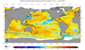
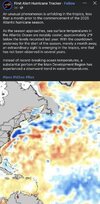
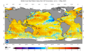
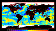
And in case you were wondering, the above described synoptic pattern with an essentially neutral ENSO and very warm waters in the Atlantic Basin will favor an "early and often" tropical cyclone threat. Two of the numerical model monthlies have 3 or 4 threats in Texas, the Deep South, and Florida, and one possibly prolonged system influencing the Eastern Seaboard and Appalachia. These storms might conceivably break heat and drought, but most of the projected rain and temperature anomalies have the "hot/dry" look in the Mid-Atlantic until tropics help arrives in September and October.
 
Last edited:
I had forgotten that last year nothing happened til mid June and then Beryl set a record on the last day of June

Kind of got lost in Helene and Milton but it was actually a very slow start for lately before Beryl

11 days til we get an outlook from the NHC 😲

images (4).jpeg
 
Last edited:
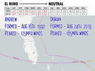
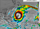
Didn't realize the 9/11-cane Erin was due back this year.

010911.erin.towers.gif
 
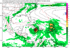
Elevated TC threat SE US May 26th-June 1st per Euto Weeklies fwiw: signal has persisted for a few days for then and it looks like a W Caribbean/gyre origin:

IMG_3557.pngIMG_3558.png
 
Hot off the press:

1. The May 2025 Euro Atlantic basin forecast numbers for 2025 are pretty similar to the April 2025 Euro forecasts for 2025. They’re actually slightly less active with ACE of 110% vs 120%. That’s still an ACE of 130-140 (not at all quiet).

2. The May 2025 Euro forecasts for 2025 are way less active than those of the May 2024 forecasts for 2024, but they’re not calling for a quiet season as they’re calling for near the normal for the current active era:

-ACE: 110% vs 200%
-# of H: 7.1 vs 12.8
-# of NS: 14.5 vs 22.8

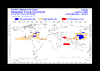
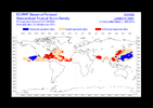
-Activity from Gulf through NW Caribbean, Florida, and Bahamas is similar to last month’s forecast, which is notably lower than 2024 with it enhanced in May of 2024 (almost all red on the map those areas) vs mainly near normal (remember this is normal of current active era) in May of 2025 (actually has slightly reduced vs active era’s normal (blue) in small areas)(see images below)

In summary, the latest Euro (May) is similar to the April forecast for the 2025 season with near normal vs current active era (not quiet) vs well above normal in their 2024 forecasts.


May 2025 forecast for 2025: near active era normal

IMG_3562.png


May 2024 forecast for 2024: very active vs active era normal

IMG_3571.png
 
Elevated TC threat SE US May 26th-June 1st per Euto Weeklies fwiw: signal has persisted for a few days for then and it looks like a W Caribbean/gyre origin:

View attachment 172683View attachment 172684

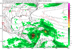
The last two runs of the Euro Weeklies for the week 5/26-6/1 have backed way down on the chance for W Caribbean/gyre originating activity later threatening FL/SE US:
IMG_3582.png
 
Back
Top