-
Hello, please take a minute to check out our awesome content, contributed by the wonderful members of our community. We hope you'll add your own thoughts and opinions by making a free account!
You are using an out of date browser. It may not display this or other websites correctly.
You should upgrade or use an alternative browser.
You should upgrade or use an alternative browser.
Misc 2021-22 Fall/Winter Whamby Thread
- Thread starter jackendrickwx
- Start date
Still sucks haha. I've got 2 hopes for my area, 1) that coastal low is a smidge more west and precip just a tick more expansive to the W/NW, honestly looking at the Euro, this seems doable but I guess the upper energy out west is impinging on the moisture transport ?

Well the sky is beautiful this morning...
TigerSnow
Member
The sky was never able to heal from last weeks event. It’s over.
YetAnotherRDUGuy
Member
LOL. It's complete trolling--no other explanation.
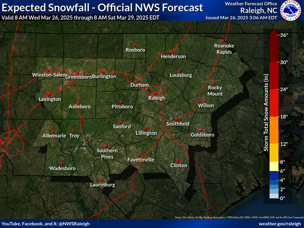
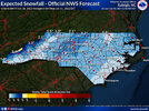
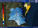
I bet if we combined the NC and VA forecasted NWS snow map, you would be surrounded by higher amounts in all directions!
L
Logan Is An Idiot 02
Guest
Raleigh weenies about to be annoying asf tonight
YetAnotherRDUGuy
Member
@metwannabe Wow. I can't imagine this verifying, but it is funny.?LOL. It's complete trolling--no other explanation.
I bet if we combined the NC and VA forecasted NWS snow map, you would be surrounded by higher amounts in all directions!
weatherfide
Member
- Joined
- Jan 5, 2017
- Messages
- 3,205
- Reaction score
- 4,761
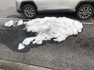
Uh, yeah, that's disgusting...Come on. My parking lot snow is lonely. Come to Jimmy View attachment 111221
weatherfide
Member
- Joined
- Jan 5, 2017
- Messages
- 3,205
- Reaction score
- 4,761
Come to me, virga storm of the decade!
weatherfide
Member
- Joined
- Jan 5, 2017
- Messages
- 3,205
- Reaction score
- 4,761
Still has to be cold enough and timed perfectly. Not holding my breath.As others have said, cold air does not look to be in short supply for the foreseeable future. I'll have to let @GaWx continue to take the lead on the uber-long range stuff, but we look good in terms of having cold around and events to track over the next couple of weeks at least.
I picked the 384 6z GFS, which obviously is fantasy land, but you can pretty much take your pick of frames before that on whatever your model of choice is. Fun times.
View attachment 111208
weatherfide
Member
- Joined
- Jan 5, 2017
- Messages
- 3,205
- Reaction score
- 4,761
Mping reports of snow in northern Alabama. Mping is a very unreliable source, though?
mydoortotheworld
Member
Remember when this thing was supposed to bomb out over the FL panhandle giving N AL N GA a 93 lite? Ahh good times
weatherfide
Member
- Joined
- Jan 5, 2017
- Messages
- 3,205
- Reaction score
- 4,761
I remember it like it was last week. All three major models were showing it. All three were wayyyyy off.Remember when this thing was supposed to bomb out over the FL panhandle giving N AL N GA a 93 lite? Ahh good times
Heelyes
Member
ATLwxfan
Member
Yeah I think if you’re from AL and more so GA climo is just against you. The rug pull is inevitable. The mountains shield us. The cold press is too much or not enough. Western portions of the Deep South have a much better shot than we do.
It’s pointless for us to even look at anything more than 5 days out that gives us the goods.
Sent from my iPhone using Tapatalk
It’s pointless for us to even look at anything more than 5 days out that gives us the goods.
Sent from my iPhone using Tapatalk
Exactly. If only we had the bird here to impart his wisdom on us plebes. ?The sky was never able to heal from last weeks event. It’s over.

