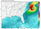
The first real fall front always feels the best! The front had rolled through by the time I left my office at 6pm, and the northerly breezes were bringing in steadily cooling temperatures. Tomorrow will feel fantastic for my early morning run!



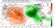
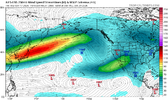

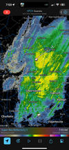

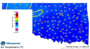




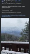
Cold can make it from Knoxville over the 6500 ft Smokies into NC no problem, but forget about it making it down the 1000 ft drop at the Saluda Grade. Cold hates South Carolina.
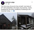
Makes my mouth water thinking about it after all this heat and drought this year. Low of 28 this morning on Mt mitchell

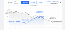
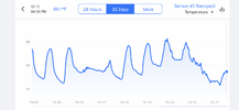
It’s called Homegar. It’s a cheap 40$ or so weather station with just the basics but I love the charts. It lays out the current days temps and compares them to the day before.You can do daily , 30 days or every day since it was set up. I believe you can have up to 3 sensors.What kind of station is that from? Love the chart
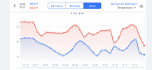

The temperature is delightful outside tonight. This is the way Fall is supposed to feel. It is wonderful not seeing high temperatures anywhere in the extended forecast in the eighties. RIP to the Summer of 2026 which dragged on way too long.


Cold air pooling is happening outside the mountains as well. I got down to ~37 this morning and didn't see any frost or ice on car tops. I'm sitting on a hill ridge (~460'). My dad lives two miles down the road from me and sits in a low area (~320' -- holler?) and has patchy frost in his front yard. I never benefit from these setups.Still learning about our Brevard rental and how it compares to our build in Cedar mountain, nc 15 minutes away .
Rental location near the Davidson River and Pisgah .
Rental (2000 feet ) 30.2F
Brevard (downtown 2220 32F 3 miles away )
Home build Cedar mountain (DuPont Forest / Above Fawn lake 3100 feet) 37F
Talking about cold air pooling. Wow
Sent from my iPhone using Tapatalk


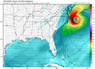
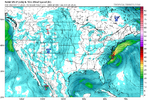
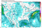
Several days here this week will be pushing 80, although mornings will be well down into the 40s.About as beautiful and comfortable a full late Oct week as is possible for outdoor activities is in the cards this week for a large portion of the SE away from E NC with lots of sunshine, high temps in the 60s-70s, mainly 15 mph or lower winds after today, and dewpoints down in the 30s-40s. We can thank persistent mainly N to NE winds resulting from three sprawling areas of Canadian high pressure centered to our NE, helped by persistent low pressure offshore the E coast especially the first half of this week. Enjoy it while you can, especially with the amount of rainfall expected Nov-March due to the very strong Nino.
Several days here this week will be pushing 80, although mornings will be well down into the 40s.


I turned on the heat for the first time of the season. It was 64 in the house when I woke up this morning.
It has become really noticeable the past week.The many upcoming chilly nights throughout the SE that have started will accelerate the autumn leaf changes everywhere, even at the many locations where it’s too warm for frost.
Is anyone seeing significant colors yet? I expect higher elevations almost certainly are, but what about those at 1,000 feet or lower? Here, the deciduous trees are almost all still green. By the end of the week, however, I wouldn’t be surprised to see a few starting to change even this far SE near sea level.
Not much color yet, but my pool robots are working OT to keep up with the falling leaves and acorns. No bugs, though!The many upcoming chilly nights throughout the SE that have started will accelerate the autumn leaf changes everywhere, even at the many locations where it’s too warm for frost.
Is anyone seeing significant colors yet? I expect higher elevations almost certainly are, but what about those at 1,000 feet or lower? Here, the deciduous trees are almost all still green. By the end of the week, however, I wouldn’t be surprised to see a few starting to change even this far SE near sea level.

I was out of town last night and just walked in to 62 inside myself. Heat on for the 1st time. I don't mind. It's probably later than usual.I did too it was 62 in my house so I turned it on and it’s set to 65°
Sent from my iPhone using Tapatalk