Belle Lechat
Member
- Joined
- Aug 29, 2021
- Messages
- 1,747
- Reaction score
- 1,417


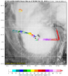
The mid-level water vapor clearly shows the decapitation strike racing toward the storm out of Texas. Its window is closing rapidly.

 weather.cod.edu


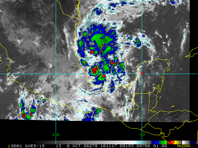
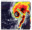
Hurricane models really starts ramping it up in a few hours from now.Dvorak loop shows maturing, closing in on Louisiana, northeast trajectory to recently due north. https://tropic.ssec.wisc.edu/real-time/adt/movies/odthtml5_09L.html
Strengthening wise or movementHurricane models really starts ramping it up in a few hours from now.
StrengtheningStrengthening wise or movement

I agree and correct me if I'm wrong, but I believe Google DeepMind's WeatherNext 3 led the way early on. The physic-based models and even the Euro AI took awhile before jumping on that east track.It’s early but I would say the ai models won out on this with the eastern landfall and intensity.

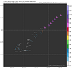
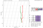
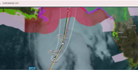
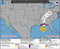
Local news is saying the storm has been on a NNE movement for a couple hours and is north of the forecast track
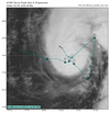
 science.nrlmry.navy.mil
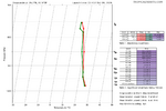
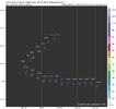


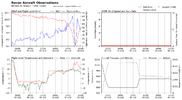
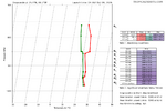
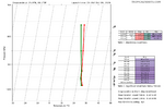
so maybe a major? 964.3 mb as broadly consistent with a strong Category 2 / borderline Category 3 intensity, roughly 100–115 mph080830 2601N 08802W 7516 02211 9643 +205 +132 249032 042 /// /// 03
so maybe a major? 964.3 mb as broadly consistent with a strong Category 2 / borderline Category 3 intensity, roughly 100–115 mph
| ...ISAIAS STRENGTHENING... ...PREPARATIONS SHOULD BE RUSHED TO COMPLETION AS THE WEATHER WILL GO DOWNHILL QUICKLY TODAY.... |
| 4:00 AM CDT Fri Oct 09 Location: 26.4°N 88.0°W Moving: NNE at 15 mph Min pressure: 963 mb Max sustained: 110 mph |

Best it’s looked in my opinion