Stormsfury
Member
Can you expand that to SC?
Can you expand that to SC?
I guess Brad P mentioned what I was describing in Thrashers post just below yours.The entire atmosphere will be a dendric growth zone. It will be <-10C from the surface throughout the column. Not sure what they would be describing.
Hmmm - getting interesting back towards Bama.
Can you post it? It’s not on Weatherbell yet.EURO AI is wetter across much of NC. The coastal is slightly further west
This west trend is going to break some hearts.EURO AI is wetter across much of NC. The coastal is slightly further west
How so? You think it’s going to flip the coast to rain? The coastal being further west helps everyone Ii believe.This west trend is going to break some hearts.
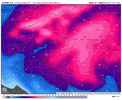
The Euro-AI once more disagreeing with its OP model, Who's gonna win that battle?Found it on pivotal. Much improved
View attachment 191429
Wow, that’s the best Euro AI run in days, or maybe ever? For this storm, I mean. Meanwhile, the old Euro goes the wrong way for a lot of central NC.Found it on pivotal. Much improved
View attachment 191429
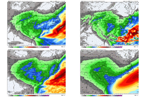
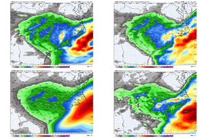
And also AI models being thrown into the mix.Interesting how model spread the last 2 storms has been larger 2 days out than 3. I could think it’s because that’s the transition zone between globals and the CAMs’ reliable range
Yeah that definitely plays a role. AI stuff hasn’t been around that long so we have zero idea about their biases and strengths and weaknesses. It’s getting pretty frustrating because the difference between 3 inches and 10 is very largeAnd also AI models being thrown into the mix.
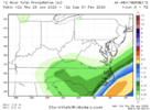
This is 4 runs in a row of the euro showing more than 6 inches here. Even though technically it was a tiny decrease from the previous run, it looks more like noise as the low track was nearly identical. It's interesting that i don't see evidence of the snow band across ne ga that the other models are showing so i'm not sure what the deal is there. One thing seems certain, the upstate is in a great spot.We just need the euro to be right at 500mb and the hi-res models will jump on board when they get it right there too.(speaking for the upstate/coumbia/charlotte/ne Georgia.)


