BrickTamland
Member
10 ft drifts on the OBX with that set-upView attachment 189520
weakening cat 2 with shear exposing the southern end of the storm
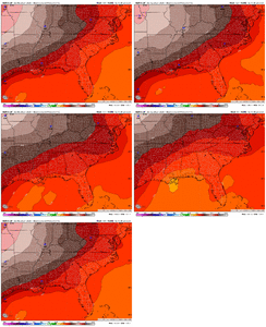
yep and super cold...850s of -14c or so over ga/sc by sat afternoonCanadian looks a lot like the ICON. Has snow for the whole state of NC, SC and GA.
This isn’t really the same setup as the last storm that was a West to east miller B storm. This a coastal bomb miller A. Not saying a far big NW cant happen, but it is unlikely in this type of scenario. Even if the high pressure relaxes there is room for error but more just warm nose issues for eastern NC not really massive track changes.Starting this NW jog too early. Just like this previous storm, around the same lead time.
I actually respectully disagree. weathernext2 and canadian were all over the last storm at this range. (for the most part) with the storm track. I think this is the best look in a very long timeStarting this NW jog too early. Just like this previous storm, around the same lead time.

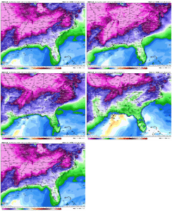
Net .5 liquid = 9+ inches. You get 1.0 = 16 inchesTemps in teens under that snow in NC too. Can we legit get back to back winter storms with temps in teens? This is insane
Instant occlusion. The low basically is wrapping up as the 500mb closes the gap.The Miller A low has been sitting off of the North Carolina coast for nine hours at this point and is starting to deepen. The trough is a little too far east for the western parts of NC/SC to get much of anything but if this were to come to pass, the eastern parts of NC would get hammered. Reminder: this is the GFS at more than five days.View attachment 189525
I don't think this is coming ashore from baja but may be incorrect. Thought this was more north entry.Safe to say hurricane hunters are going to be flying into another Baja low later this week
I don’t disagree about weathernext and Canadian doing well with the last system but just look at the jump NW from the 0Z Canadian to the 12Z run.I actually respectully disagree. weathernext2 and canadian were all over the last storm at this range. (for the most part) with the storm track. I think this is the best look in a very long time


It indeed was one of the first accuracies and we kind of dismissed it at that range vs what others were showing. At least I did.And if we are getting technical about the Canadian looking back 5 days out on the storm that just went through yesterday. It had the track absolutely nailed 5 days out and even had this storm showing up. Not saying the Canadian is a great model but you have to tip your hat when it is due
How far out were we from this Sat/Sun when the models turned NW? I know I seem negative but it’s hard to trust anything at this point!I am near ATL and I think this is a great look at this range. Though it is an even better look for the Carolinas
Looks like you are sitting at some ridiculous 2ft amounts on that runwraparound, deform band, ull magic, more sophisticated lifting mechanisms at our disposal in a setup as depicted. i think now my biggest anxiety for the board is the cutoff/pinch going too far north
