• Hello, please take a minute to check out our awesome content, contributed by the wonderful members of our community. We hope you'll add your own thoughts and opinions by making a free account!

Wintry January 23rd-27th 2026

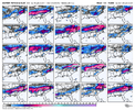
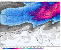
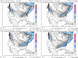
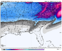
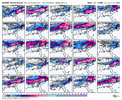
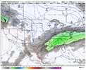
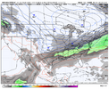
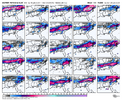
Euro ai mean… Wtf…. This is only through hr 168!
Does anyone know if the mean includes snow/sleet or snow/sleet/freezing rain on these 10:1 maps?

View attachment 185132
that's nuts. This entire 12z model run has been nuts. Given the almost unprecidented model agreement, i wonder how ffc and gsp will handle this. Yes it's day 6/7 but this is such a potentially high impact event that folks will legit need a heads up on the possibility as soon as possible.

i.pngi2.png
 
With these CAD set ups, does anyone have any previous winter storms to compare this too? Right now I’m south of the cut off so I want to compare to see if this type of storm has historically missed my area or if there is a chance for me still…
 
Alright well everyone forget I said all that stuff about "best snow mean in years." I was bamboozled. Back to real analysis.

The trend is your friend!
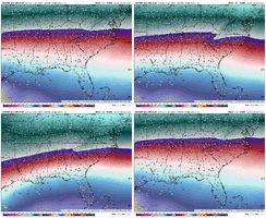
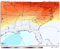
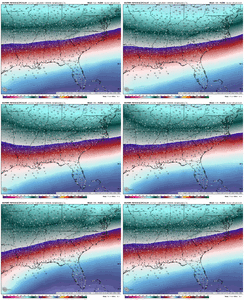
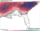
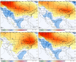
ecmwf-ensemble-avg-se-t850-1768737600-1769342400-1769342400-20.gif


1768761671597.png

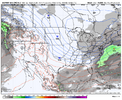
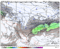
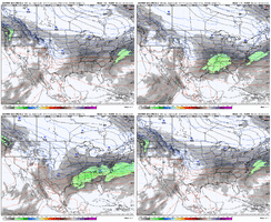
It doesn't get much better than that pressure map. The H5 map is less pretty and continues to support the general ice concern though, and I can't act like this doesn't put some unease into me on that side of things:


ecmwf-aifs-ensemble-avg-se-t850-1768737600-1769342400-1769342400-20.gif
 
With these CAD set ups, does anyone have any previous winter storms to compare this too? Right now I’m south of the cut off so I want to compare to see if this type of storm has historically missed my area or if there is a chance for me still…
Yeah, February 2014 sticks out with that CAD footprint.

Punched -3-4C at 925mb to almost BHM.
 
Yeah, February 2014 sticks out with that CAD footprint.

Punched -3-4C at 925mb to almost BHM.
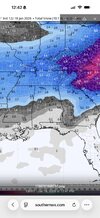
IMG_6512.jpeg
I didn’t get anything Feb 2014. I live close to the yellow dot on the map, it sucks being always so close to the cut off! Hopefully this thing trends south some! We haven’t had measurable snow in years now.
 
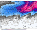
View attachment 185143Sweet Jesus I’ve never seen a mean that large in my life

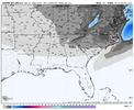
I’m deferring to the EPS mean clown maps as the Euro AI versions look very weird:

WxBell EPS is, itself, a very strong signal for snowfall (one of strongest I’ve seen for a week out)
IMG_7261.png

WxBell Euro AI ens looks weird/look at the snow pockets way out over the ocean/Gulf and looks like it is using screwy algos: I don’t trust it and besides, these biblical amounts on an ens mean aren’t believable:

IMG_7260.png
 
that's nuts. This entire 12z model run has been nuts. Given the almost unprecidented model agreement, i wonder how ffc and gsp will handle this. Yes it's day 6/7 but this is such a potentially high impact event that folks will legit need a heads up on the possibility as soon as possible.

View attachment 185141View attachment 185142
GSP already has to a degree.
Resharing.
Heights begin to fall Saturday into Sunday as yet another short wave
dives south and moves across the area. A baroclinic zone, and a moist
low level easterly flow, sets up across the Southeast between high
pressure to the north and weak low pressure in the Gulf. This
combined with increasing isentropic lift and frontogenetical forcing
leads to precip developing across the area. The operational guidance
and most ensemble means are trending in this direction with temps
cold enough for at least a wintry mix across the area. That said,
the LREF mean and the NBM have little to no probability of even
Advisory level wintry precip. As usual in these types of situations,
confidence is very low given the model to model and run to run
inconsistency. Keep up with the latest forecasts as they are likely
to change going forward.
 
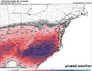
7cf3b52308a08a451b785c071392abb9.jpg

29c1f21e0da67232db2f109601e95d3a.jpg
 
I’ve sat and looked at old snowstorm maps for years…hoping, dreaming, and wishing that I may one day get to experience a historic one. Could it finally be happening?! I’ve never in my life seen so much ensemble support throughout the model suites at this range. Something is going to happen, just a matter of nailing down the details.
 
From a meteorology standpoint: Is the heat release cause by freezing rain possible to allow THAT much accrual? Self limiting? .75 crippled CLT back in early 2000's.
if guidance is right about the high strength nothing is off the table and a geographic region is getting sent back to the 1860s until fema can cut through all the downed trees. pray you’re not in that strip of land
 
been super busy this weekend (football let’s be honest) and this is my first cup of coffee with next weekend’s guidance

this is a big dog signal. most robust I can remember since maybe jan 2016. dec 2018 and feb 2021 (boo) come close. let’s reel in something historic
 
been super busy this weekend (football let’s be honest) and this is my first cup of coffee with next weekend’s guidance

this is a big dog signal. most robust I can remember since maybe jan 2016. dec 2018 and feb 2021 (boo) come close. let’s reel in something historic
I don't mind Reeling in something historic as long as its not ice!
 
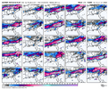
What’s crazy if you look at the eps ai ensemble it has showed last 5 runs almost down to the mile heaviest snow in same spots Richmond up in southern Maryland 24 hours and has budged
 
Back
Top