Bigedd09
Member
that is 6z not 12z
that is 6z not 12z
It all depends on location, as with any kind of weather, Some gonna get hit and some not. Just all depends on where you're atThe latest one backed way off on the idea of an amped solution (and honestly now looks like cold chasing moisture to me).
That’s a great map and good discussion - very clearly communicated. Good job young blood.CURRENT SNOW CHANCES:
- The highest chance of at least an inch of snow is only at 40-60% for anyone in the Carolinas currently.
- I don't currently buy the EURO model solution of a coastal snow, but it's still possible.
- I expect models to trend warmer, wetter, and further NW between now and Sunday.
- Ice Is still a possibility for many.
Made this map with what I expect to change in the data in mind
Isn't it WeatherNext/AIFS based? So presumably similar to those?I wonder what the 12Z GRAF model is going to show
The RRFS (like the NAM) is run off the same initial condition as the GFSSaw somewhere where someone said RRFS follows GFS or something?
You don't wanna see the latest run
View attachment 183749
reversing 6z less amped wave and digging more
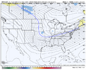

Yes....seems colder due to less amping and more or a cold pushGfs shift is prob what you want to see in Columbia and up to e nc
6z weathernext2guys, the weathernext2 (google) is in my opinion the best. it's private access, but a couple members have it. pay attention to that model's output when it's posted
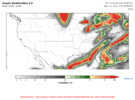
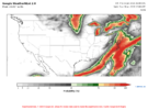
Gfs shift is prob what you want to see in Columbia and up to e nc
One thing annoying about the AI models is how they are only at 6hr increments. I believe that’s because they are partly based on reanalysis data which is in 6hr increments. Anyway, was wondering bouncy (or others) if there will be future efforts to upgrade to 3hr etc?
AI GFS been very consistent past couple of days...
FWIW SV been showing a stripe of snow in the Carolinas into VA
View attachment 183761
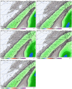 Con
Con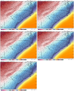
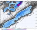
Old run. It cut totals big time with the newestBOOM!
Fairly typical for cold rains here in central NC....one of RainColds rule of thumbs for successful winter events is the cold has to be in place first. We've seen this many many times...HUGE BL issues for the Carolinas on pretty much every model....it will be wild if everybody ends up with nothing.
GRAF is bone-dry
View attachment 183764
