-
Hello, please take a minute to check out our awesome content, contributed by the wonderful members of our community. We hope you'll add your own thoughts and opinions by making a free account!
You are using an out of date browser. It may not display this or other websites correctly.
You should upgrade or use an alternative browser.
You should upgrade or use an alternative browser.
Pattern January Joke
- Thread starter SD
- Start date
NEGaweather
Member
Sent from my iPhone using Tapatalk
Jan88
Member
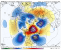
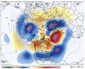
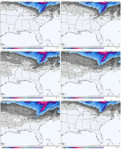
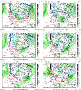
That kinda blocking can deliver the goods for the se an mid Atlantic!Op Euro from 2 days ago vs 12z today. Starting to lock into something really legit
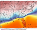
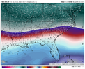
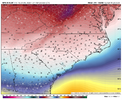
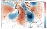
View attachment 180213View attachment 180214
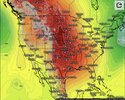
Euro drops a big boy high into the states around 1/9, centers a 1047 over Wyoming on 1/10 and we all struggle to get above freezing thru the end of the run. All of this with a jammed flow. Woof. This is where we need to silence the NS energy and sneak something through to the south. Decent window if it’s to be believed

NBAcentel
Member
Prestige Worldwide
Member
FoothillsWX
Member
Be thankful you’ve been nickled and dimed lol. Your foothills brethren on the other side of the mountains would kill to trade places with you. 90% of this forum would have a stroke if they lived in a location that misses snow by 10-20 miles weekly in the winter with flow and then watches every region in the South score the past few years.Man I’m really not here to watch another banger hit the Gulf Coast. Upper south is overdue for a bomb. Been getting nickled and dimed to death for years.
CNCsnwfan1210
Member
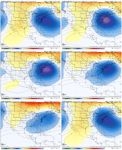
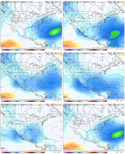
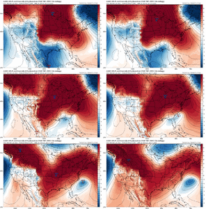
To me, looks like the EPS is shutting off the energy coming through the PNW while the subtropical jet starts to get going with the mslp anomalies along the southern US/gulf coast. Somebody fact check me on that if I’m wrong.
Sent from my iPhone using Tapatalk
Favorable storm path. those last frames centered out of the gulf are a woof
iGRXY
Member
EPS looks very nino like as we get to mid January. The subtropical jet looks like it’s going to become the dominant jet going forward.
That January 6th-10th timeframe might work out.. who knows. But the end of the 12z EPS is heading towards the fundamental building blocks for glory.
billyweather
Member
For us more novice enjoyers, what does that look like?That January 6th-10th timeframe might work out.. who knows. But the end of the 12z EPS is heading towards the fundamental building blocks for glory.
I tried to post a GIF but it was to long & wouldn’t upload. I attached a post I did on X below.For us more novice enjoyers, what does that look like?
accu35
Member
This upcoming cold pattern has gulf lows/southern sliders/ overrunning events written all over it. Exciting times ahead for sure.
Like a bedtime story of adventuresThis upcoming cold pattern has gulf lows/southern sliders/ overrunning events written all over it. Exciting times ahead for sure.
NBAcentel
Member
I tried to post a GIF but it was to long & wouldn’t upload. I attached a post I did on X below.
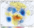
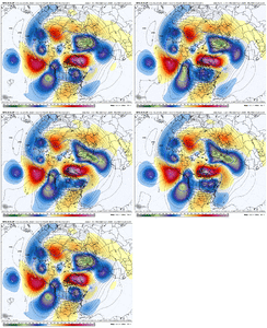
We might get a true -NAO retrogression into west Canada giving everything is backing up. It’s been a while since we’ve had a successful retrogression, we are heading towards a fun looking month. -NAO/undercut look
Ducks going to be on the pond soon?We might get a true -NAO retrogression into west Canada giving everything is backing up. It’s been a while since we’ve had a successful retrogression, we are heading towards a fun looking month. -NAO/undercut look+PNA/-NAO
+PNA/-EPO seems like the progression we are heading for
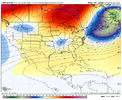
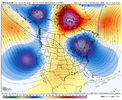
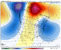
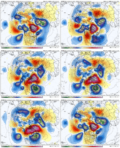
My thoughts...I thought last night's Euro progression (below) looked really good as it went bonkers with the Greenland blocking and W Canada ridge spike combo, leading to the deep trough. I think something like that is possible, but hard to say how likely. But I think most of us are going to need something aggressive like that to get the storm track to our south with enough cold air in the Jan 7 to 12 timeframe. In the Jan 12-18 timeframe, the Eur Wks want to retro the pattern fairly quickly....+PNA > -EPO....back to -WPO by late Jan.
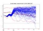
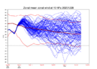
This winter, we need all the Pac Jet momentum we can get. La Nina and the weak / ineffective MJO this winter don't help with Pac Jet momentum. Asia looks solid with +EAMT (jet extender - some lag to reach N America) thru the upcoming week, then high pressure builds in west of the Tibetan Plateau (-EAMT look / jet retractor - some lag to reach N America) in the Jan 4-8 timeframe, so the retrograding pattern on the Weeklies in mid-Jan makes sense to the eye.
The Pac Jet extension over the next 2 weeks is taking on a more equatorward / cyclonic wave breaking look, with the ridge building back up thru W Canada and into E AK. This is in contrast to a more anti-cyclonic wave breaking look, with a big rollover ridge in AK leading to a big arctic outbreak.
Bottom Line: I view the pattern to be better than climatology in the Jan 7 to Jan 18 timeframe, but not high end. Things will evolve going forward of course. Hope is that we see something closer to last night's Euro evolution on the front side of this pattern.

NBAcentel
Member
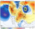
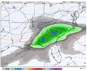
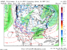
AI GFS says yesGotta love how the GFSAI is coming around the euro with how it progresses the block. Probably gonna result in a better pattern afterwards this run View attachment 180231
packfan98
Moderator
Now we are cooking! Classic Miller A storm. Looks like El Niño.
NBAcentel
Member
Bigedd09
Member
Woahhh nice to see a good fantasy storm on the AIGFS
Sent from my iPhone using Tapatalk
Sent from my iPhone using Tapatalk
The bummer here is that it’s 300 hours away. The big take away is that it’s not a 1 off for this time frame and is supported by the potential atmospheric evolution shown by models like the EPS.Too bad its the AI GFS not the EPS
NBAcentel
Member
LukeBarrette
im north of 90% of people on here so yeah
Meteorology Student
Member
2024 Supporter
2017-2023 Supporter
“wedge underdone”
boys that’s a big broad overrunning look if I’ve ever seen one
lawd she steep. Let’s keep the SS conveyor belt movingView attachment 180244
Right after that looks insane
CNCsnwfan1210
Member
look at her goView attachment 180237
That’s a dreamy gif, nice gulf low sliding off the SE coast.
Sent from my iPhone using Tapatalk
300 hours away on the worst-performing model on the planet. That said, I prefer that look to wall-to-wall warmth.The bummer here is that it’s 300 hours away. The big take away is that it’s not a 1 off for this time frame and is supported by the potential atmospheric evolution shown by models like the EPS.
Waiter waiter can I have some AIGFS verification scores in the first 2 weeks of its existence (I’m serious)
NBAcentel
Member

