Darklordsuperstorm
Member
It's definitely not the generous amounts showing yesterday.Looks like we will be lucky to get a half an inch from this thing in the Atlanta area.


Yeah suspect that's the first of several we will see todayTornado warning for Randolph County.

Storms are just now getting into the higher instability. The cell near whiteville and the one approaching Fayetteville may be problems in the near term

Barely broke .50". WTH.

It's weird. Radar indicates between .5 and .75. My gauge is not in an ideal location but it usually gets close to reality. I'll go with the official recording at FFC. Let's see what that reads.My physical gauge said had 1.25" as of this morning. I did not think I would get even close considering I had basically nothing after midnight. This site, which is generally on the low side, shows you over an inch.
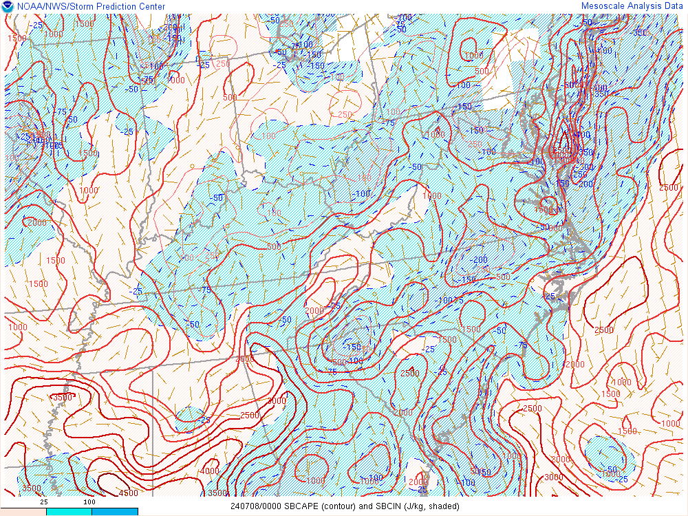
View attachment 123696
And just like that blue skies with .8 so far
TOR warning for NW Durham county/Southern Person/NE orange
It's weird. Radar indicates between .5 and .75. My gauge is not in an ideal location but it usually gets close to reality. I'll go with the official recording at FFC. Let's see what that reads.
I agree not feeling confident about a resurgence. Although the stuff in South Carolina will be interesting for maybe an isolated tornado as it moves in but also some strong wind gusts I could see accompanying it.Sun’s out. Be interested to see if anything else can get going now. Personally skeptical
